Where we find archaeological sites in the province is often strongly tied to the physical environment. We look for the different physical characteristics such as distance to water and if an area is high and dry. These features are indicators, which tell us that there could be an archaeological site in the area. This approach to finding archaeological sites is useful, but there are problems when we start considering how the landscape might change over time. The top of a hill set really far from a stream today, might have been beach front property in the past.
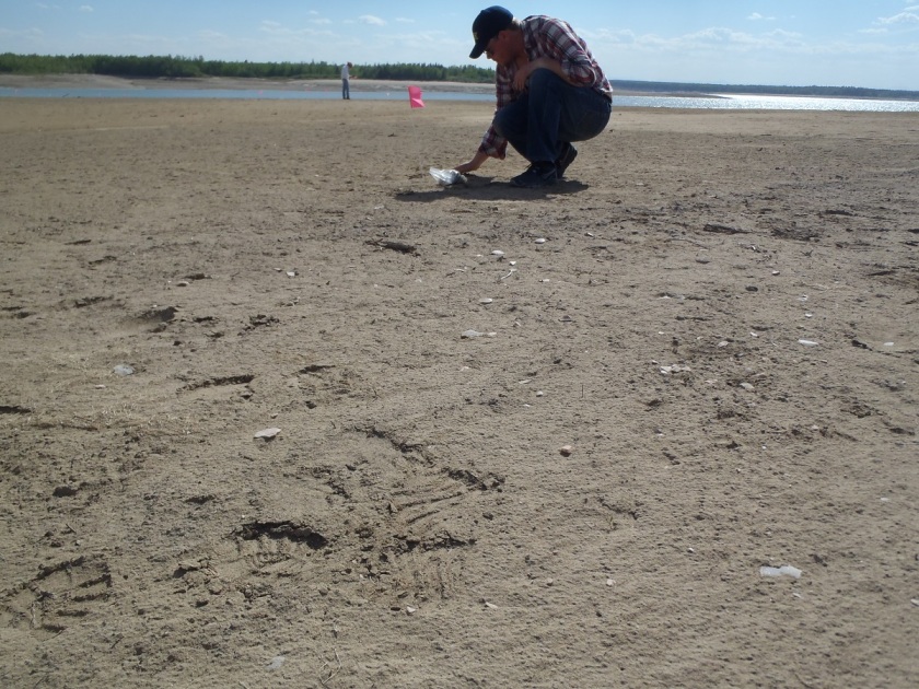
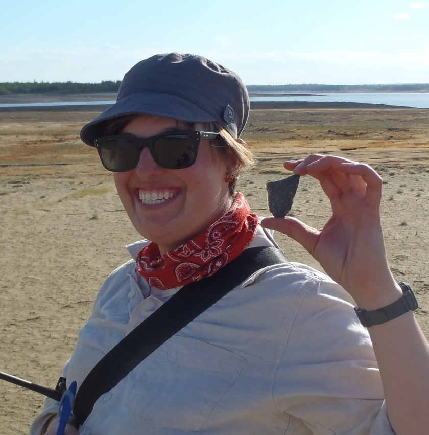
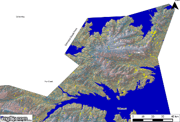
This is important in regards to our work on the shores of Lesser Slave Lake in Alberta. The Lesser Slave Lake basin has undergone extensive changes over the past 13,000 years, largely due to the retreating front of the glacial ice sheets at the end of the last ice age, and the incision and creation of the modern river valleys. Understanding how this environment changed over time is useful for identifying new archaeological sites in the region, as it helps us to understand how First Nations used the landscape in the past. Older archaeological sites may be on ancient beaches and meltwater channels that don’t look like they would be suitable for a campsite today, but were actually prime real estate 10, 000 years ago. These sites could be missed during an archaeological review and survey based on the modern landscape, so it is important that we understand how an area has changed, so that we can better predict where archaeological sites are going to be.