Camp Fire Hazards

It’s that time of year again! Living in Alberta, we all know how disastrous a forest fire can be. No one wants to see fires tear through their homes and communities, like what has happened previously to Fort McMurray or Slave Lake.  These fires are dangerous, unpredictable, and destructive.  Many of us at Tree Time have walked though the remains of a burned forest and have seen what is left behind.  So here are some tips to remember while you are out camping and enjoying your campfire.

PB230804 - Copy
An area that was partially burned by a forest fire

Building your fire:

  • Check for a fire ban in your area. May can be a dry month, and it only takes one spark to start a forest or brush fire.
  • Use an existing fire ring if you can, rather than build a new one.  Make sure all vegetation or flammable materials (like leaves, sticks, spruce/pine needles, etc) has been cleared away up to 10 ft.
  • If you have to build a new one, dig a pit 1 ft into the ground first and circle it with rocks.
  • Select an open area with no overhanging branches, dense dry grass, logs, etc.
  • NEVER LEAVE IT UNATTENDED!

Putting out your fire:

  • Use water to douse that fire.  If the fire burns too hot, it can still catch fire when the wind picks up, so make sure everything that remains is soaked through.
  • Use shovels or a stick to stir the contents making sure everything gets wet and cools down.
  • Touch it to be sure! People might think that they put out their fire, but debris (roots, moss etc) on or under the ground can catch on fire and spread the fire beyond the stone rings. You can see in the pictures that the area around this abandoned campfire has been burned.
IMG_0226 - Copy
Note the burnt ground under Brian’s feet clearly outside the intended fire pit area


IMG_0230 - Copy
Brian digging up earth around the fire pit to put out the fire

That is why it is so important to make sure that you have properly put out your fire. Please check out the Alberta Parks Website for great advice on campfire safety.

http://www.albertaparks.ca/albertaparksca/advisories-public-safety/outdoor-safety/campfire-safety/

http://www.ofc.alberta.ca/camping-and-outdoor-fire-safety

Also if you need to report a wildfire, call 310-Fire (3473). Never put yourself in danger.

We thought we would share this story in advance of the long weekend to remind people about campfire safety. Alberta is a great place and camping is an amazing way to experience it. So from us at Tree Time, we sincerely wish you a great long weekend and happy, safe camping.

Abandoned Campfire

Living in Alberta, we all know how disastrous a forest fire can be. Some of you might have been personally affected by the devastating fires in Fort McMurry or in Slave Lake. Brian knows personally how dangerous forest fires are because he used to be a forest firefighter. Many of us at Tree Time have walked though the remains of a burned forest and have seen what is left behind.

PB230804 - Copy
Figure 1. An area that was partially burned by a forest fire

So when Brian and I were working the in foothills around Rocky Mountain house and we saw the remains of a smouldering fire, we took it seriously.

We noticed the smoke in the morning as we walked to our first target. The campfire had been abandoned, likely by people camping during the May Long weekend. This means it was likely burning unattended for three days. It looked like people had been burning garbage in the fire pit, including a mattress. The mattress frame was smoking heavily. The ground around the campfire was also smouldering a bit, and somewhat hot. The area around the pit was clearly burnt.

IMG_0226 - Copy
Figure 2. Note the burnt ground under Brian’s feet clearly outside the intended fire pit area

We put out the frame with water from a nearby creek. It was so hot that it caught fire again as soon as the wind touched it. Back at the campfire, we used our shovels to dig up the earth around the firepit and in the pit itself. Brian told me that he had fought many fires during the May Long weekend that started in this exact way. Not because of people burning garbage, but because of abandoned fires. People might think that they put out their fire, but debris (roots, moss etc) on or under the ground can catch on fire and spread the fire beyond the stone rings. You can see in the pictures that the area around the campfire has been burned.

IMG_0230 - Copy
Figure 3. Brian digging up earth around the fire pit to put out the fire

That is why it is so important to make sure that you have properly put out your fire. Please check out the Alberta Parks Website for great advice on campfire safety.

http://www.albertaparks.ca/albertaparksca/advisories-public-safety/outdoor-safety/campfire-safety/

http://www.ofc.alberta.ca/camping-and-outdoor-fire-safety

Also if you need to report a wildfire, call 310-Fire (3473). Never put yourself in danger.

We thought we would share this story in advance of the long weekend to remind people about campfire safety. Alberta is a great place and camping is an amazing way to experience it. So from us at Tree Time, we sincerely wish you a great long weekend and happy, safe camping.

Introduction to CRM Part 5: Reporting

Once we have surveyed our targets and evaluated any sites we have found, it is time to return to the office. All of our notes are taken on an ipad in the field. Now all we have to do is export our notes into a database which eliminates the hours spent on data entry.

Note taking is extremely important for archaeologists (Figure 1). The notes supply researchers the context of the artifacts. In this case context means the precise location of the artifact and it’s association with other artifacts and landscape features. This helps researchers determine such things as the relationships between artifacts on a site, it’s position in time and space, and even how it is related to different archaeological sites (Figure 2). Without notes and proper excavation methods, the context in which the artifacts were found is lost forever, and the artifacts have little scientific or interpretive value.

DSCF2352_resized
Figure 1. Eric taking notes on an iPad that will later be used to interpret the site.
PA030741_resized
Figure 2. An artifact in it’s original context found at an historic site.

We also catalogue all of the artifacts that were collected in the field. We take measurements, weights, and note details such as material and artifact types, and enter them into a database (Figure 3). This along with the site notes gives us the information we need to write our reports.

01072015172
Figure 3. Madeline is weighing an artifact.

In the final stage of the Historic Resources Impact assessment, we compile a report of all the work that we have done and submit it to our clients and the government. The report identifies which developments need to be modified to avoid impacting significant archaeological and historic resources. The site information is included in a government database of all the sites in Alberta as a reference for future industry development as well as researchers. This minimizes the impact that our clients have on Alberta’s history while preserving the past for future research and education.

Introduction to CRM Part 4: Evaluating a Site

DSCF1606_resized
Figure 1. Positive shovel test that contained lithic debitage.

When we identify a site, we conduct further evaluative testing to determine the type, character, and extent of the site. This is done according to government guidelines, and depends on the type of site, and the type of landform. If the landform allows for it, testing occurs in each cardinal direction or in a grid. Some sites are found on ridges or point terraces, and so in these cases, it is not possible to test in all directions (Figure 1).

Tree Time’s standards are that there must be three negative tests spaced at most 10 m apart in each direction from any positive. Sometimes additional tests are required in order to determine the significance, the size, and type of the site. For example if none of the evaluative tests were positive, further testing might be done at closer intervals to better determine the significance of the site. In addition to rigorous note taking, we also map and photograph the site (Figure 2).

P6050160_resized
Figure 2. Vince taking notes at a site.

The evaluation of the site is an important step for two main reasons. The first is to enable the government to maintain an accurate site database and to better inform future researchers of the size and type of sites are in the area (Figure 3).

PA030750_resized
Figure 3. We are evaluating an historic site by flagging artifacts with red flagging tape.

Secondly, in this stage we determine the extent and significance of the site. If a client decides to avoid the site, delineation allows us to more precisely buffer the site. This is important because it allows the development to occur as close to the original plan as possible while still avoiding impacts to the site. In addition, if a client chooses to mitigate their impacts to the site through excavation, a more detailed evaluation of a site allows us to better predict the productivity of the site, and to render cost estimates of any mitigation work more accurately.

DSCF1930_resized
Figure 4. Buffer flagged around the site with orange flagging tape.

Once we have surveyed our targets, evaluated any sites we have found, and have finished our notes, it is time to return to the office (Figures 5 and 6).

P9010529_resized
Figure 5. Reid is finishing his notes before we move onto another target.
PB210773_resized
Figure 6. After a long cold day, Brittany heads back to the office.

Introduction to CRM Part 3: Archaeological Survey

Using information compiled in the office, the next step of an HRIA is to leave the comforts of home behind and to venture into the field. Although there is a perception of archaeologists working at large excavations, often dressed in khakis and maybe wearing a fedora, archaeological survey is the most common type of field work in the CRM sector. So for now, we will focus on archaeological survey and discuss archaeological mitigation in an upcoming blog.

The purpose of an archaeological survey is to visit the high potential target areas we identified in our background research and GIS review in order to see if there are any historic or archaeological sites. We travel to these high potential locations using various means of transport including trucks, ATVs, Argos, the occasional helicopter for the most remote locations, and a lot of hiking (Figures 1 and 2).

DSCF1848_resized
Figure 1. Teresa and Vince in an Argo travelling to target areas.
DSCF2186_resized
Figure 2. Archaeology happens in all weather as Teresa and Brittany hike in snow to our target areas.

When we arrive at these locations, we use experience and expertise to determine if the landform has potential for archaeological and historic sites. For example, is this spot flat and dry? Would we like to camp or hunt from here? High, dry areas, and spots that have nice views are often tested. In fact sometimes we identify a site in the exact spot where we dropped our gear for lunch, as we naturally tend to stop on the best part of the landform (Figure 3).

DSCF2021_resized
Figure 3. Our gear placed at a positive shovel test, flagged with red flagging tape.


The most common method of subsurface sampling that we use is screened shovel tests (Figure 4). This means we dig holes about 40 cm square and 30 to 40 cm deep and screen all of the sediment in portable screens. If there are any tree throws or surface exposures, we also conduct opportunistic examinations of these for artifacts (Figure 5).

DSCF2041_resized
Figure 4. Matt is shovel testing.
P7190907_resized
Figure 5. Picture of a tree throw that allows for opportunistic sampling.

There are several different sampling strategies that we use, these include systematic, semi-systematic, and judgmental testing. Systematic testing is the term we use when we place tests using a set interval, for example digging a test every 10 m along a landform. For judgmental testing we do not use a set interval instead we place shovel tests on the best part of a landform based on our past experience and conceptual models of how people lived on different types of landforms. Finally, semi-systematic testing is a combination of the previous two. For this method we place tests on the best locations of a land-form while trying to maintain a certain overall density of testing.

The shape of the landform helps determine what type of sampling strategy to use to test a target. A long uniform ridge might be better suited for hybrid or systematic testing, while a hillock might be more often tested in a judgmental manner (Figure 6).

DSCF1867_resized
Figure 6. Brittany testing a target using a semi-systematic strategy.

If the tests are negative, then we write our notes and move on to another location to survey. However, this does not mean that we can definitely say there is not a site at the location. Negative results only reduce the chance there’s a site at a location. To be 100% sure, we’d have to do a lot more excavation (Figure 7).

P9140588_resized
Figure 7. Although a nice area near water, we did not identify a site here.

On the other hand when we do identify a site, then we stay at the location to undertake further evaluative testing (Figure 8).

P5270044_resized
Figure 8. Vince is very happy after identifying a site when he found a point in a shovel test.

Introduction to CRM Part 1: Cultural Resource Management

Cultural Resource Management (CRM) is undertaken in many different countries all over the world and it can go by just as many names, Contract Archaeology, Consulting Archaeology, Compliance Archaeology, and Heritage Resource Management (HRM) to name a few. Whatever CRM is called, the underlying purpose is always the same. These archaeologists engage in the protection, preservation, and professional management of archaeological and historic sites. In Canada, this means that we help minimize any impacts planned developments might have on a province’s archaeological and historic resources. These resources include archaeological sites containing artifacts such as stone tools and animal bones (Figure 1), and historic sites consisting of structures like cabins or artifacts like metal tools (Figure 2).

ggox-5dorsvent-174
Figure 1. A stone knife that was recovered from a pre-contact (prehistoric) site.
DSCF2021_resized
Figure 2. A cabin that we discovered during an archaeological survey.

Using our experience in archaeology and research, along with computer programs like GIS, we review development plans and identify recorded sites and areas that have high potential to have archaeological and historical resources (Figure 3). This most commonly results in an archaeological survey of the high potential areas. Another option is to move a development or minimize the potential impacts by changing the way the development will be done.

01072015154
Figure 3. Corey is identifying high potential areas using GIS.

Next, we go into the field to survey the high potential areas (Figure 4). In forested parts of Alberta we do this by shovel testing. If we identify a site, we dig more evaluative tests to determine the nature and extent of it. This allows us to contribute information for the government and other researchers concerning the size and type of sites in the area. In addition, it allows us to more precisely buffer the site for our clients so development can occur close to the site without impacting it. It also makes it possible for us to better evaluate the significance of the site and to render cost estimates for any mitigation work much more accurately.

teresa_resized
Figure 4. Teresa is taking notes about a site.


Once we complete the field survey, we return to the office. This is where we catalogue the artifacts and compile a report for our clients and the government.

Archaeology Risk Management Plans?


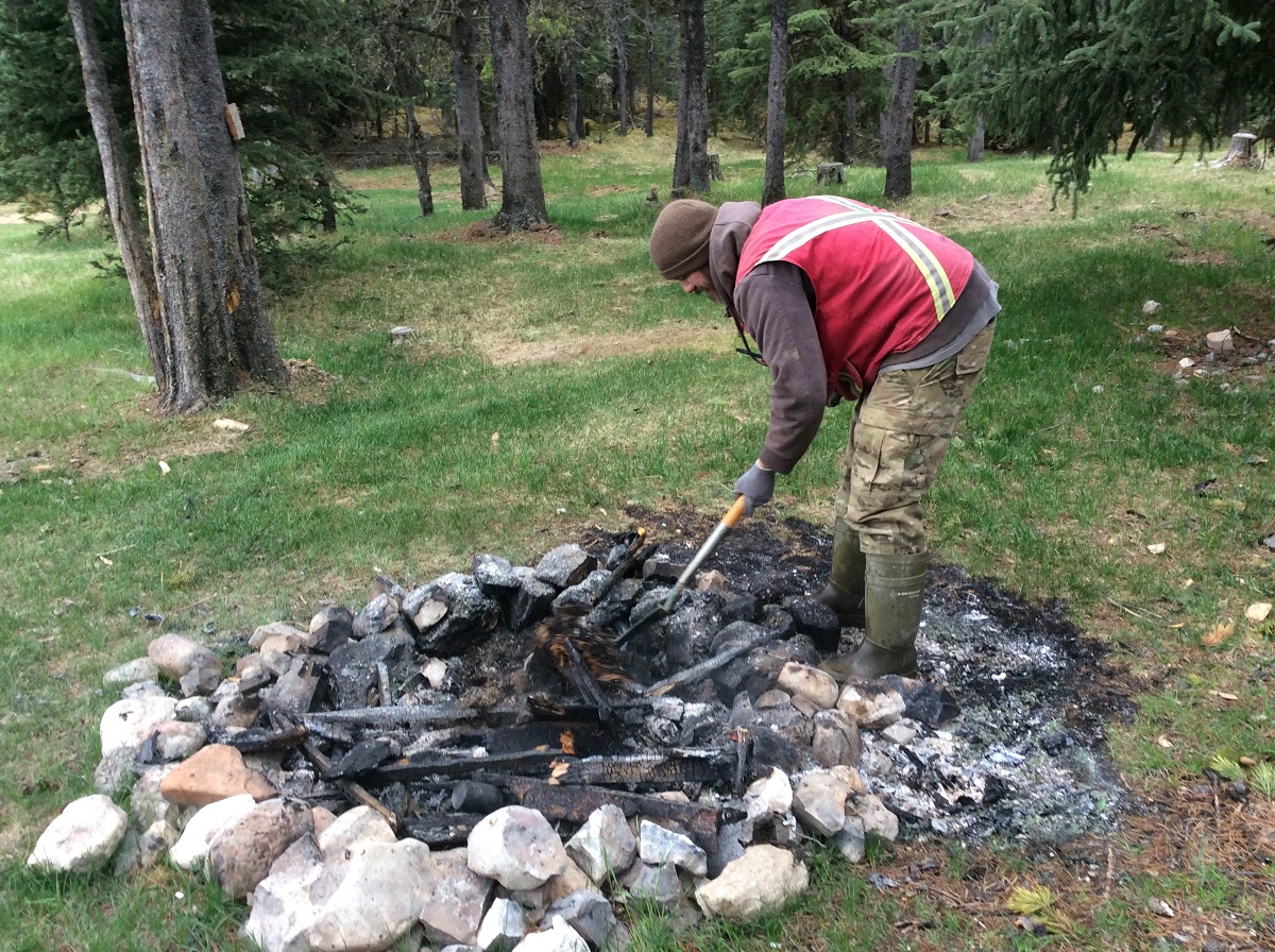
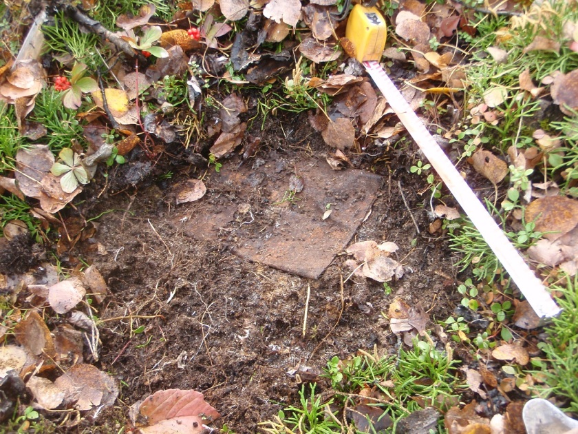
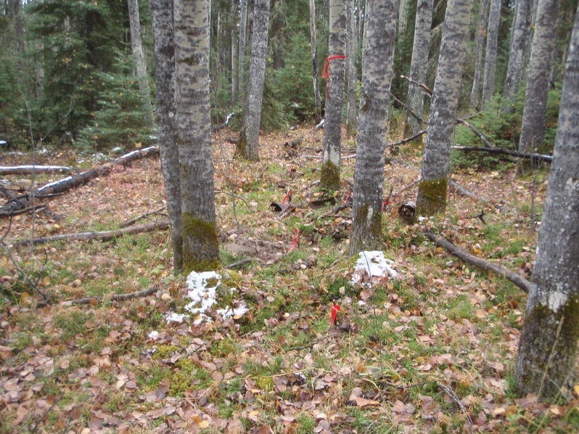
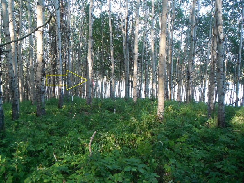
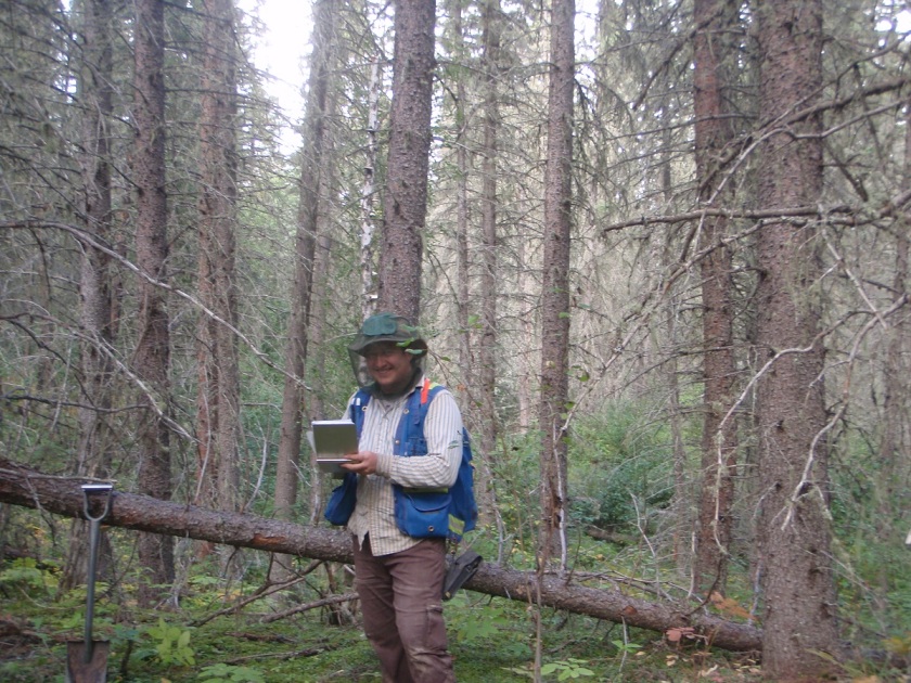
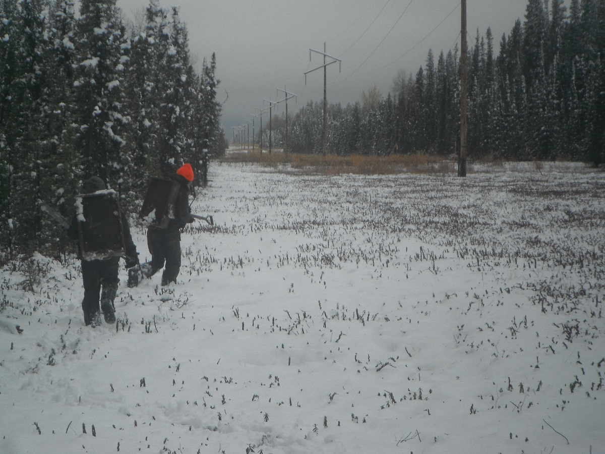
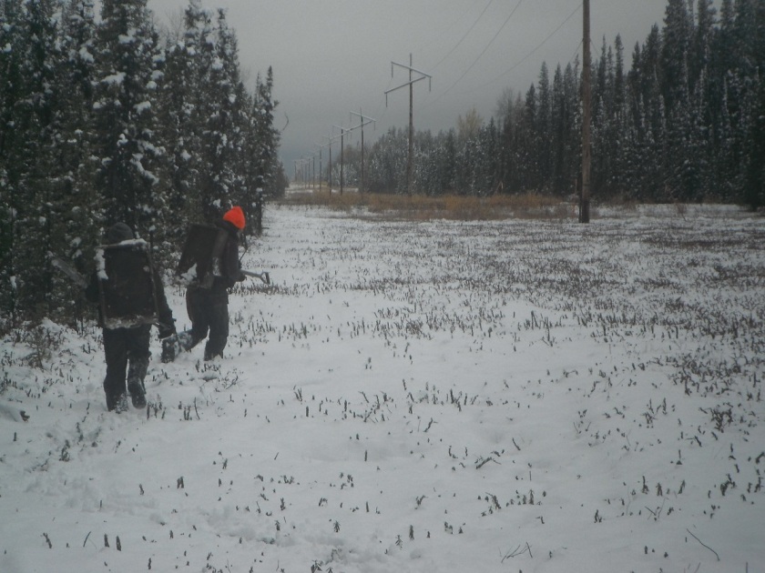
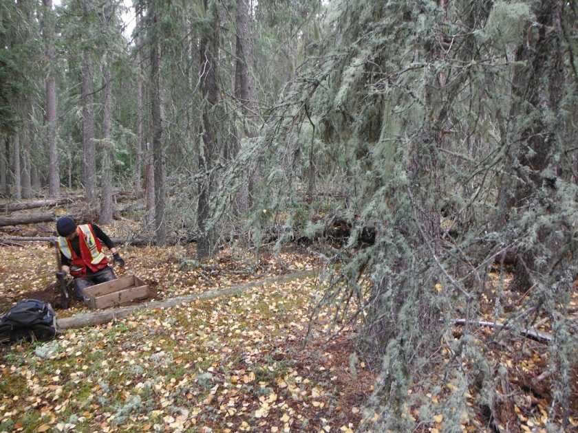
In a previous blog post, I wrote about how remediation and archaeological impact assessment pose very similar problems, from a technical perspective. In both cases, there is something in the ground, and we need to figure out where, how much, and what to do about it. My impression is that remediation is well ahead of archaeology on both the technical and regulatory fronts. This is actually a good thing. It means we can borrow and adapt methods and procedures that have been proven to work.

Alberta Environment and Parks (AEP) recently released a draft Risk Management Plan guide to update their guidance on the requirements for Risk Management Plans for Exposure Control. Exposure Control is an alternative to traditional remediation of contaminated sites when full remediation is not technically feasible. AEP’s preferred approach to contamination is remediation (removal of the contaminants), but they’re willing to entertain leaving contaminants in the ground as long as an adequate risk management plan is in place. Both Exposure Control and full remediation have parallels in archaeology; exposure control is very similar to avoidance and remediation is akin to mitigative excavation. In archaeology, the preference is for avoidance over mitigation, because excavation is destructive and archaeology is a non-renewable resource, so we opt for site avoidance whenever we can. This poses a number of challenges:

  • A commitment to avoidance doesn’t provide the clear regulatory closure that site clearance or a completed mitigation does.
  • Once an archaeological site is in-situ within a crown disposition or development footprint there are no regulatory mechanisms to trigger review if development plans change.
  • Long term, theoretically perpetual, avoidance of an archaeological site requires some mechanism to ensure that commitment is communicated to future operators and owners.
  • Ongoing monitoring of hundreds or thousands of avoidance commitments would require substantial regulatory resources.

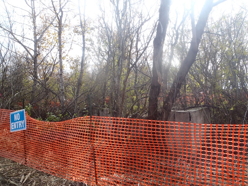
Too often, avoidance commitments are made and resources are left in-situ, only to be disturbed by later development through miscommunication or human error. The Historic Resource Management Branch of Alberta Culture and Tourism (ACT) has recognized this problem, and has begun requesting more details when proponents opt for site avoidance, but hasn’t yet developed the regulatory mechanisms to address it. Fortunately, Alberta Environment and Parks has had to deal with a lot of contaminated sites and has developed a very detailed and robust draft Risk Management Plan Guide that addresses a lot of the same risks.

AEP has identified several core components of an adequate Risk Management Plan:

  1. Administrative information, including the identification of the person(s) legally responsible to maintain and monitor the plan until the site meets remediation guidelines.
  2. A detailed background to provide the context of the site; essential to ensure that the Risk Management Plan will survive regulatory and operational personnel changes.
  3. Identification of the contaminants (resources) of concern.
  4. Identification of risks associated with the site under current conditions.
  5. A Conceptual Site Model, which is a detailed visual and written description of the site, incorporating all currently known information. (This is another tool archaeologists could borrow from the remediation world to improve how we communicate about sites.)
  6. A summary of current land-use and zoning, which are factors that can dramatically affect the level of risk to a site.
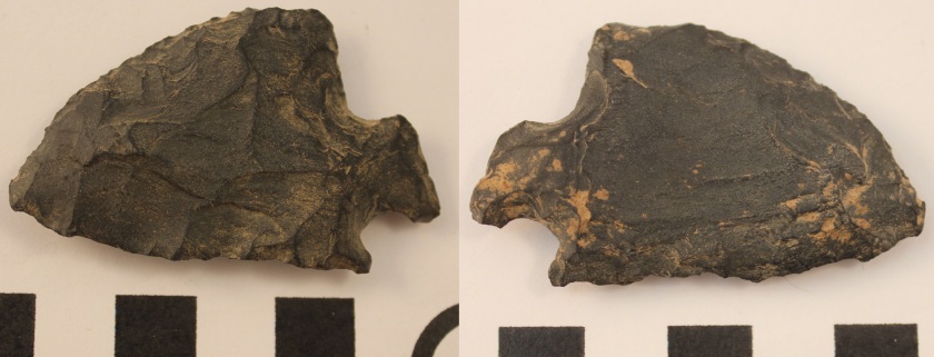
  7. Complete Delineation. Again, remediation is far ahead of archaeology when it comes to standards and methods for accurate delineation and evaluation of sites. In order to accurately evaluate risks, we need a better understanding of the site than is currently obtained at the archaeological survey (HRIA) stage.

AEP also systematically breaks down the Exposure Control Plans to ensure that they will address all of the challenges we raised above. In addition to the detailed exposure control (avoidance) methods that will be implemented, and the rationale for their selection, the Plan has to include:

  1. Timelines and organizational requirements to ensure continuity.
  2. An evaluation of the remaining risks.
  3. A monitoring plan, which is explicitly the proponent’s responsibility, in perpetuity, and must include a schedule and reporting and record keeping mechanisms.
  4. A contingency plan in the event of failure.

Finally, an adequate Risk Management Plan includes a communication plan to ensure that all stakeholders (such as regulators, land owners, municipalities, and First Nations) are aware of the plan, informed of monitoring results, and notified in the event of a failure.

As archaeological mitigation costs continue to rise, our ability to predict and detect the location of sites improves, and community interest in sites of all types increases, proponents will be opting for avoidance and other alternatives to mitigation more often. AEP’s Risk Management Plan model may seem overly prescriptive to archaeological professionals used to fairly open standards and a lot of regulatory freedom, but the continued occurrence of avoidance failures indicates that the current system isn’t working. Fortunately, we don’t have to reinvent the wheel. Techniques, procedures and regulatory models for the long-term management of risks on the land already exist. AEP will be releasing their final guide for Risk Management Plans in the near future. Archaeology Consultants could easily adapt AEPs template to provide our regulators with the information and tools they need to manage and monitor long-term avoidance and other innovative historic resource management options.

To keep up to date on Historic Resource regulations and processes, you can subscribe to our quarterly Regulatory Update email.