Mary Townsend Sharpless Schäffer

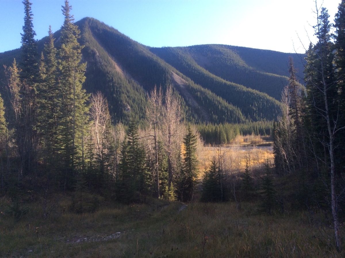
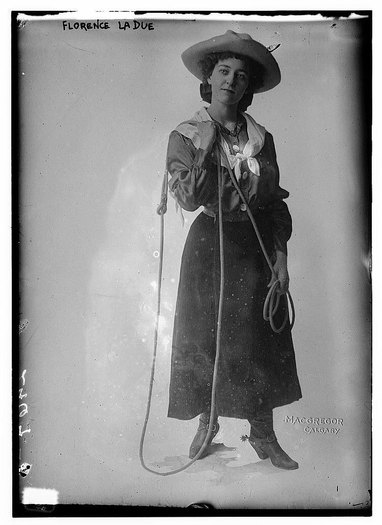
Have you been to Maligne Lake? If so, you’ve seen some of Mary Schäffer’s work, for her survey of Maligne Lake was used when the area was incorporated into the Jasper National Park.

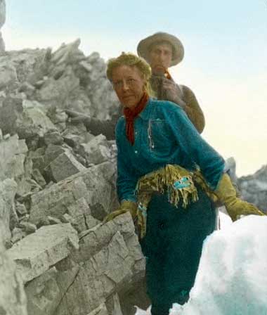
In 1911, Mary was asked to survey Maligne Lake by the Geographical Board and Geological Survey of Canada. This was incredibly unusual as Mary wasn’t a trained surveyor and government policy at the time prevented women from accompanying survey parties, let alone leading one.i However, Mary’s position was unique; she and her friend Mollie Adams had been the first non-Aboriginal women to see the lake and had already completed several exploratory expeditions in the Rockies by the time of the government’s request.

An American by birth, Mary got her start in the Rockies after she and her husband took a rail trip to the west in 1889. Afterwards, the couple decided to spend their summers undertaking botanical studies in the Canadian Rockies. Mary’s husband, Charles, suffered poor health and this kept them close to the railway line for their research. After Charles’ death in 1903, Mary began to travel further into the Rockies in order to complete the illustrations for the guidebook she and her husband had planned on creating. Along the way, she got much help from guides, outfitters, and Aboriginal people and developed friendships there. By the time she finished collecting specimens in 1906, she was hooked on exploration.

Mary had developed a friendship with a geography teacher from New York named Mollie Adams. The women spent two summers exploring the valleys and lakes north of Lake Louise. The goal of their 1907 expedition was to explore the headwaters of the Saskatchewan and Athabasca Rivers, but they were also hoping to find a hidden lake known only to the local Stoney Nakoda First Nations and called Chaba Imne (beaver lake).ii Mary and Mollie had no luck in locating the lake that year, but when they were returning to the railway at the end of their field season, they met a group of local First Nations people and joined them for dinner at the cabin of Elliot Barnes in the Saskatchewan River Valley. One of the men recalled visiting Chaba Imne with his father around 20 years earlier. This man’s name was Samson (also written Sampson) Beaver and from his decades old memories he was able to draw Mary a map outlining the route. The following year, Mary was able to use the map to make her way to the lake, which she named Maligne Lake.

Mary wrote about her 1907 and 1908 expeditions in Old Indian Trails of the Canadian Rockies. This is her most famous book. It is an important work because it contributed to the protection of the Maligne Lake area through raising its public profile, but it’s also important because it reflects the social standards of the time and part of what life was like for women and First Nations in Canada at that time. For example, it wasn’t proper for women to be leading such adventurous and dangerous expeditions, especially with men who were not their direct relatives, and so you’ll see that very little is said of her male guides and companions, especially in comparison to her horses. The book also illustrates the colonial practice of changing Indigenous place names and the idea that areas already known to local people were “discovered” by Euro-Canadians.

Mary took many photographs during her explorations. Many can be found at the Whyte Museum in Banff. Here you can see photos Mary took and hand-coloured of Sampson Beaver and his family, nature scenes, and shots of the expedition, as well as some of her possessions.

The View From Out Here

We took this photo in the fall of 2016 while completing fieldwork for Sundre Forest Products’. It’s of the Clearwater River valley as seen from a site we found that year. The site was easily identified because artifacts were eroding out of the steep valley wall and the ATV trails that cross the landscape.

From here, one would be able to keep an eye on traffic (human, moose, deer, etc.) through the valley (if the vegetation allowed it, that is). This is probably one of the reasons it was used as a campsite in the past, and still is to this day – we found a couple of modern fire pits at the ancient site.

Views are becoming an increasingly important and interesting part of predicting site locations and are becoming easier to consider. We have GIS to thank for that. Here former Tree Time archaeologist, Tim Allan, has an update on his MA research that provides an example of what a view-shed analysis can look like.

In the case of the Clearwater River site and the Hummingbird Creek site Tim discusses, both appear to be located to command the view – look how similar the landscapes are.

hummingbird vs clearwater
Hummingbird site location on left (from Tim’s blog post), Clearwater River site on right.

As more view-shed analyses are undertaken in Alberta, we may see patterns emerge that indicate that people were choosing to place their structures or settlements in a location that ensured they could see certain landmarks (like kiva towers), be seen from certain landmarks (like the possible Whitby signal station), or to be protected from views altogether (like low-elevation defensive sites in the islands of Fiji).

These analyses of the views to, from, and between contemporaneous sites can provide us with some clues as to social interactions and climates in the past.

Why do HRIAs (Historic Resource Impact Assessments)?

“Archaeological heritage is an essential element in the affirmation of our Canadian identity and a source of inspiration and knowledge. It is the policy of the Government of Canada to protect and manage this heritage.1

This sentiment is echoed through all levels of government and most provinces2, territories, and municipalities have either a piece of legislation, regulation, policy, or official plan in place that enables the government to protect heritage resources on lands within its jurisdiction.

For example, it’s stated in Alberta’s Historical Resources Act that when the Minister thinks a proposed operation or activity is likely to alter, damage, or destroy a historic resource, the Minister may order that person to undertake an HRIA3. This means that the Minister of Alberta Culture and Tourism (ACT) has the authority to require developers to conduct studies that assess the potential impacts of their development on historic resources. In Alberta, these studies are called “Historic Resources Impact Assessments” or HRIAs.

If the HRIA determines that there are historic resources located within the development footprint that may be impacted by the proposed development, ACT may require that the impacts be mitigated before the project will receive development approval (i.e. through modification of the development plan or the completion of a Historic Resource Impact Mitigation / HRIM). The goal of HRIA and HRIM studies is to ensure that significant historic resources are preserved through the development and land use planning processes. As such, the Minister may require the authority responsible for approving the proposed development (such as Alberta Environment and Parks, Agriculture and Forestry, or the Alberta Energy Regulator) to withhold or suspend the approval (or licence/permit/etc.) until the HRIA/HRIM requirements have been satisfied.

Have you been required to obtain a permit-status archaeologist to undertake an HRIA/HRIM? We’d be happy to discuss how Tree Time Services can best help you through the approvals process so you can focus on your core business. Call Kurt at 780-472-8878 or email archaeology@treetime.ca. 

To keep up to date on Historic Resource regulations and processes, you can also subscribe to our quarterly Regulatory Update email.

1 Archaeological Heritage Policy Framework, Department of Canadian Heritage, Ottawa, 1990.

2 “We value the natural heritage and human history of Alberta because they help us understand and value the past on which our present is built, and give us a deepened awareness of our common roots and shared identity.” The Spirit of Alberta: Alberta’s Cultural Policy, 2009:3

3 Alberta’s Historical Resources Act, Section 37.2

Julie Nookum, Indigenous midwife

International Women’s Day is March 8th this year. One aspect of this day is the celebration of the social, economic, cultural and political achievements of women. In honour of this day, we’re going to profile a few women from Alberta’s history.

Today I’ll be profiling Julie Nookum. Unfortunately, very little information about Julie Nookum is available in written records. The information I’ve been able to find about Julie comes from fleeting mentions in the memoirs of Mary Lawrence.i

Continue reading “Julie Nookum, Indigenous midwife”

Flores LaDue, First Lady of the Calgary Stampede

International Women’s Day is March 8th this year. One aspect of this day is the celebration of the social, economic, cultural and political achievements of women. In honour of this day, we’re going to profile a few women with ties to Alberta and its history.

We’ll begin with Flores LaDue, the FLOTCS.

11032v
Photo of Flores La Due from Library of Congress.

Continue reading “Flores LaDue, First Lady of the Calgary Stampede”

End Scraper

This week we feature a stone tool found upstream on Fall Creek, about 55 km west of the community of Caroline, AB. We were undertaking an assessment for Sundre Forest Products and testing a flat area overlooking the creek (shown below) when Ryan found the end scraper shown above.

photo1

A “scraper” is a type of tool that is usually unifacial, meaning the stone was worked on one of its sides (or faces) only. Compare the two sides shown in the image above and you’ll see the one shown on the left is much smoother, except for a small piece that may have been broken off when digging the shovel test. The face of the scraper that is worked typically has pieces chipped off on the side or end in order to make a thick and strong edge. This is the scraping edge that could be used to prepare hides.

Unifacial working and a thick edge are the two main criteria used when identifying an artifact as a scraper, so as you can imagine there are a lot of different styles of scrapers found at archaeological sites. Just take a look at the beautiful example Reid describes in this blog post.

Regardless of what style of scraper you’ve found, a close look at the edge of these artifacts can reveal some “use wear,” when the edges become chipped, polished or worn down through the process of scraping hides, bone, wood or other softer materials. As a result of this wear, scrapers would occasionally need to be resharpened and the tools would become smaller and smaller through the resharpening process. It’s possible this scraper was considered too small to be of any more use and so was thrown away only to be found by us, perhaps thousands of years later.

Spokeshave

This week we feature an artifact from a large site we found on the Pineneedle Creek valley margin, west of Caroline (a community between Rocky Mountain House and Sundre) and off of the Forestry Trunk Road. The site was found when we were undertaking an assessment for Sundre Forest Products. More than 100 stone artifacts were recovered from this site, most of which represent chips broken off when making stone tools. This one stands out from the rest. It’s not so obvious an artifact as some of the stone tools we’ve shown in previous blog posts, but it represents the other critical component of an arrow or a spear: the shaft.

bothsides2

Figure 1: Two sides of an ancient spokeshave.

This is a “spokeshave”. This kind of tool is used even today for shaping and smoothing wooden rods for wheel spokes, chair legs, paddles, etc. You can find a spokeshave at your local hardware store, but it will look nothing like the example shown above.

An ancient spokeshave is thought to have been used to shape shafts for arrows, spears and darts. It’s recognized by the semi-circular notch on its side where you can imagine a wooden rod fitting nicely. In the picture above, the arrows are pointing to the notch on this artifact.

In many parts of Alberta, the soil is so acidic that materials like bone and wood don’t preserve so we don’t find arrow shafts. It’s pretty exciting and humbling to find an artifact that reminds us that there were once many more materials at these sites.

Big John’s Spring

A couple of the traits that serve archaeologists best are curiousity and an ability to recognize when something doesn’t belong.

For example, look at this site Brittany found in 2014 on the North Saskatchewan River when we were undertaking assessments for Sundre Forest Products. It may not look like much at first glance, but it’s an interesting historic period site.

P6110209_resized
Figure 1. The first hint of the site was a break in the berm.

Brittany was riding her ATV along the recreational trail that follows the route of the historic Canadian Northern Western Railway line that ran between Nordegg and Rocky Mountain House. She was looking for the best place to park and begin her hike when she noticed a break in the berm that follows some parts of the rail line. It was a strange and deliberate looking design and so she stopped to investigate. Visible from the trail and through the berm was a small pool of water. Closer inspection showed the pool to be square shaped, lined with cut boards, and overflowing; the water was flowing out of the pool and down the slope away from the railway line. It must be spring fed for the water to be flowing like that.

DSCF1169_resized
Figure 2. Square pool of water near the railway line.

We both walked through the surrounding area, looking for anything else that might be related to the site. We found some cans, part of a shovel and some other metal items. These things are common along the railway line. We saw that there was barbed wire fencing strung across the pool, probably to keep cattle in as this area has a history of grazing. Could this pool be a watering hole for cattle? Since the barbed wire ran right over the middle of the pool we decided that it likely wasn’t made for that reason. Perhaps it was a watering stop for the nearby railway. It may be a bit small for refilling a train (although we couldn’t safely confirm how deep it is). I think it’s more likely this water was used for human consumption.

We later found this story about the nearby town of Saunders Creek in the book Ghost Town Stories of Alberta1:

During the hungry Depression years, when there was very little work at the mine, most residents survived on garden vegetables, wild meat and fish from the North Saskatchewan River. Near his cabin, Big John discovered a way for townsfolk to keep their food and water supplies fresh… One day in 1932 while out walking, Big John discovered water seeping from a side hill. He climbed up a bit and dug a hole. As water began flowing into it, he realized he’d found a spring. He built a little shed around it to create a cooler. People stored perishable food there, and whenever the mine’s washhouse water line froze up, Big John allowed folks to help themselves to water. Over the years, it became a regular sight to see residents walking along Big John’s path from the creek, loaded up with as many buckets of water as they could carry.

Could this be the remains of Big John’s spring / cooler? We later found the remains of a cabin just 130 m down the slope from this pool (see photo below) so it certainly sounds like the same set up described in the history book.

DSCF1204_resized
Figure 3. Door frame of log cabin.

Unfortunately, the location just doesn’t quite match up. Big John apparently lived close to Saunders Creek whereas this site is more than 20 km down the railway from Saunders. It could be a coincidence or an example of how good ideas spread.

To hear more about what we’ve been finding along this stretch of railway, join us on May 21st at the Sundre Museum for an Archaeology Roadshow.

1 Bachusky, Johnnie 2011. Ghost Town Stories of Alberta: Abandoned Dreams in the Shadows of the Canadian Rockies.


2550 – 1400 year old projectile point!

This week we present one of the artifacts from a site we found while doing surveys for Sundre Forest Products on the North Saskatchewan River in 2015. More than 30 artifacts were found through shovel testing at the site, but this one is extra-special. It’s a dart point of the Besant style. Above is a photo of the point right after Corey found it in the screen we use to sift soil from the shovel tests we dig while looking for sites.

One reason this artifact is so special is because it helps us estimate how old the site is. We don’t have a precise date for when people were at this site because that usually requires finding an artifact made of material that was once living, like wood or bone, that can be sent to labs to be dated through special techniques. Unfortunately these kinds of material don’t preserve well in the acidic soil of the Boreal forest, but by finding a point like this we can give an estimate of the site’s age. Besant points have been found in Alberta at sites dating between 2,550 and 1,400 years ago. That means that before this photo, the last time the point was seen may have been more than two thousand years ago!

In addition to being one of the few artifacts we find that can be used to figure out how old a site is (and teach us about how people were living in the past and how that changed over time), this artifact is special because we don’t find points often. Most people have seen arrowheads like this at some point, but they’re not commonly found when archaeologists are at the test pitting stage of their work. Instead, we usually find all the rock that gets broken off when the past person was making the tool. We call those pieces “flakes” and there are way more flakes out there than points. That’s why it’s always a big deal to find a point through shovel testing. Look how happy Corey is at finding it in one of his shovel tests!DSCF2440_resized


Agate Basin Spear Point

This week’s photograph is of an artifact we found in 2015 when undertaking an HRIA for Sundre Forest Products. It comes from a site south of the Ram River – our 100th site of the year, in fact. It’s an exciting find: a spear point of the Agate Basin style. The picture above was taken when it was found and the picture below shows the point after it was catalogued in our lab. We have found our fair share of points over the years, but this is a rare one because of its age. Agate Basin points are some of the oldest found in the province and date between 10,200 and 9,600 years ago.

FbPu-31_8_IMG_0106
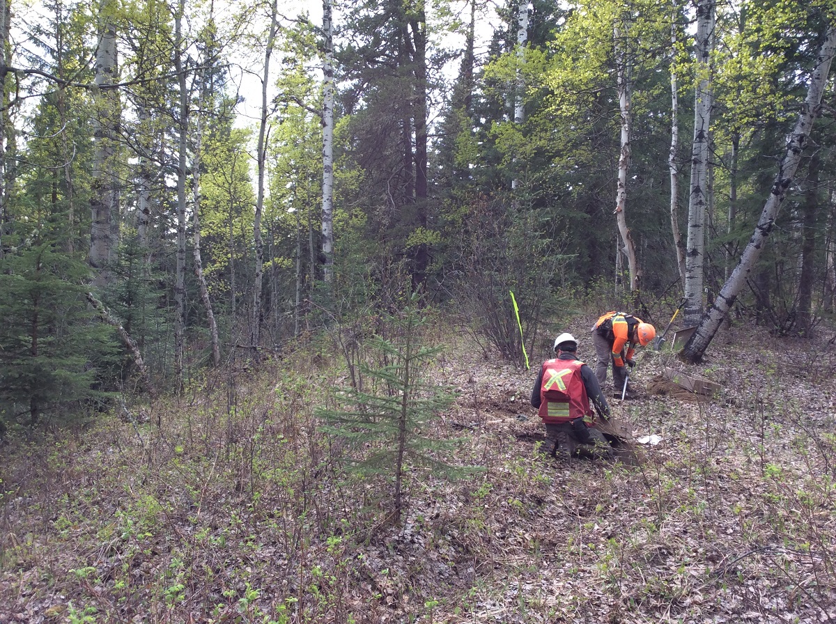
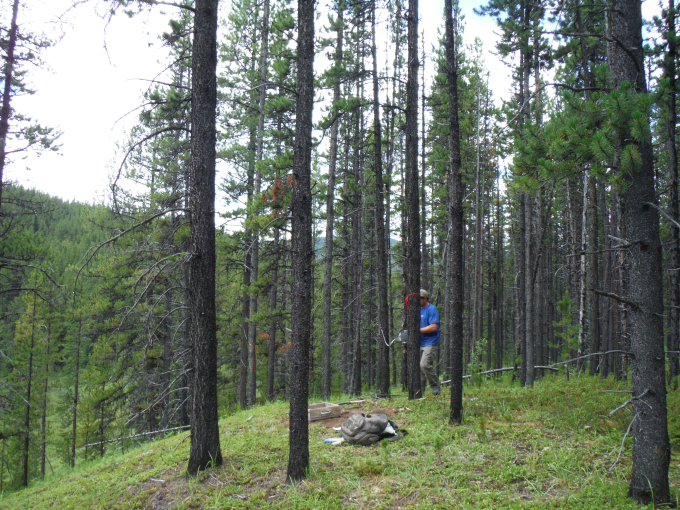
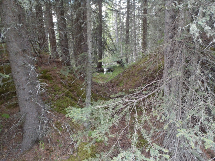
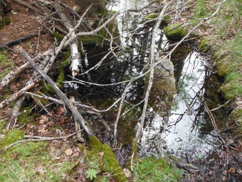
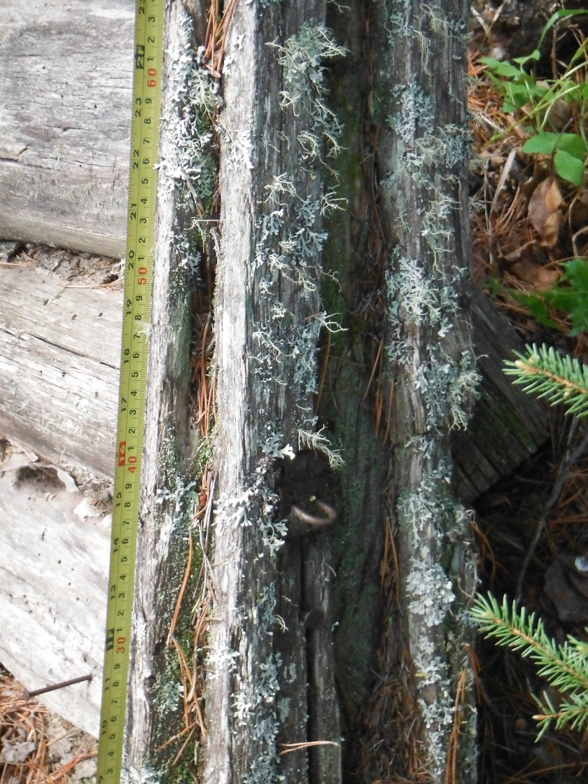
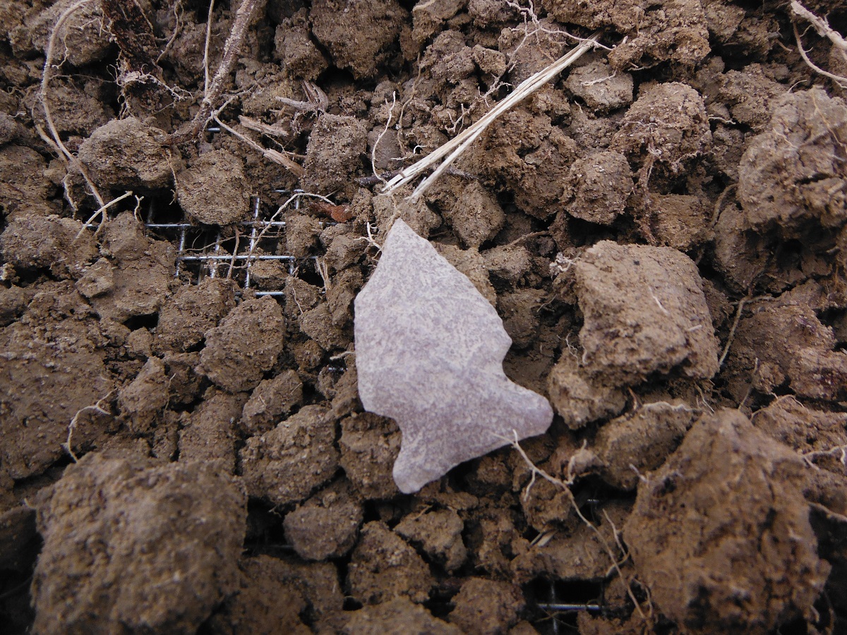
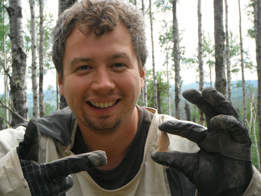
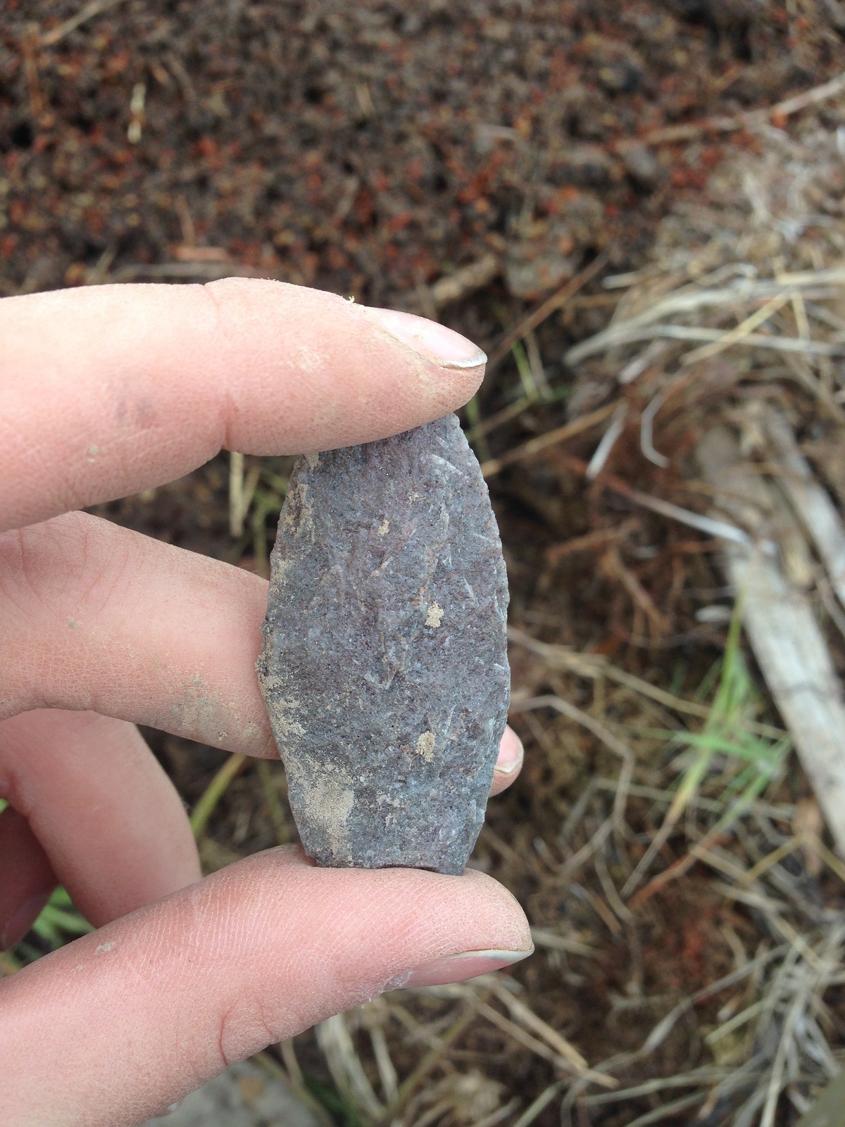
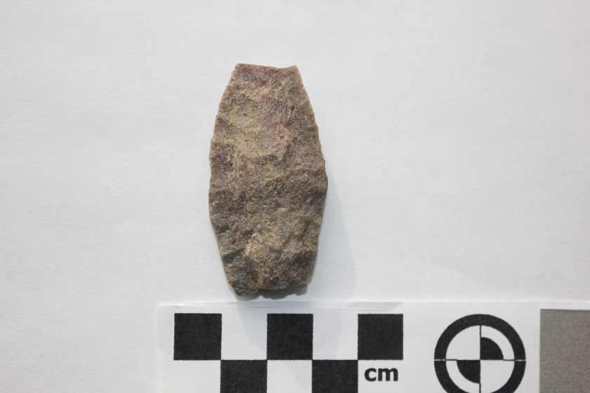
The site was identified when we were surveying a disturbed area. Like Corey explained in his blog entry, a lot of information may be lost when a site is disturbed because the relationship of one artifact to another has been disturbed. Although we always hope to find sites intact and undisturbed, disturbances like erosion can allow archaeologists to see a larger area of soil than through shovel testing alone. This artifact was found lying on the ground when we were walking over a ridge. This is why archaeological assessments in disturbed areas can be worthwhile. It’s also why archaeologists are hard to walk with – they’re always looking down, searching for artifacts in even the most unlikely places.