Why do HRIAs (Historic Resource Impact Assessments)?

“Archaeological heritage is an essential element in the affirmation of our Canadian identity and a source of inspiration and knowledge. It is the policy of the Government of Canada to protect and manage this heritage.1

This sentiment is echoed through all levels of government and most provinces2, territories, and municipalities have either a piece of legislation, regulation, policy, or official plan in place that enables the government to protect heritage resources on lands within its jurisdiction.

For example, it’s stated in Alberta’s Historical Resources Act that when the Minister thinks a proposed operation or activity is likely to alter, damage, or destroy a historic resource, the Minister may order that person to undertake an HRIA3. This means that the Minister of Alberta Culture and Tourism (ACT) has the authority to require developers to conduct studies that assess the potential impacts of their development on historic resources. In Alberta, these studies are called “Historic Resources Impact Assessments” or HRIAs.

If the HRIA determines that there are historic resources located within the development footprint that may be impacted by the proposed development, ACT may require that the impacts be mitigated before the project will receive development approval (i.e. through modification of the development plan or the completion of a Historic Resource Impact Mitigation / HRIM). The goal of HRIA and HRIM studies is to ensure that significant historic resources are preserved through the development and land use planning processes. As such, the Minister may require the authority responsible for approving the proposed development (such as Alberta Environment and Parks, Agriculture and Forestry, or the Alberta Energy Regulator) to withhold or suspend the approval (or licence/permit/etc.) until the HRIA/HRIM requirements have been satisfied.

Have you been required to obtain a permit-status archaeologist to undertake an HRIA/HRIM? We’d be happy to discuss how Tree Time Services can best help you through the approvals process so you can focus on your core business. Call Kurt at 780-472-8878 or email archaeology@treetime.ca. 

To keep up to date on Historic Resource regulations and processes, you can also subscribe to our quarterly Regulatory Update email.

1 Archaeological Heritage Policy Framework, Department of Canadian Heritage, Ottawa, 1990.

2 “We value the natural heritage and human history of Alberta because they help us understand and value the past on which our present is built, and give us a deepened awareness of our common roots and shared identity.” The Spirit of Alberta: Alberta’s Cultural Policy, 2009:3

3 Alberta’s Historical Resources Act, Section 37.2

What is Mitigative Excavation?

Mitigative excavation is the process of digging an archaeological site that is threatened either by development or natural erosion. Mitigative excavations have different goals than academic excavations. The goal of mitigative excavations is is to save as much information about the site before it is destroyed, whereas in academic digs the goal is to answer specific questions about how people were using the site in the past.

When a planned development is in direct conflict with a significant archaeological site our normal first recommendation is for a project redesign in order to avoid impacting the site. When a project redesign is not a viable option a mitigative excavation might be required.

Before the excavation begins additional shovel testing may be required to ensure that the boundaries of the site have been confidently established and to identify the most important or valuable part of the site. Using what we have learned from the shovel testing we select areas for excavation blocks. We try to target the places where we’ll get the best return, in scientific information, for the investment of time. These excavation blocks are usually excavated in 1×1 m units. During the excavation layers of a predetermined depth are carefully removed. The sediment is screened and artifacts are collected. While excavating each layer is carefully described and locations of artifacts within the layer are recorded. Any changes in the soils or unusual staining is also described in detail. As each layer is removed photos are taken to further document the process. Once the unit is excavated to its final depth photos and drawings are taken of the unit walls. These photos and drawings will help us to understand the natural formation of the site area by studying the statigraphy. Looking at the layers of the soil can help us to determine if some artifacts in the site are older than others and can help us to understand how long or often the site was used by people in the past.

Mitigative excavations in Alberta typically do not involve excavation of the entire site as you might see in academic research excavations; instead archaeologists first consult with the developer and the government and excavate a sample of the site that focuses on the area of impact, and maximizes the information value of the dig.

Once the mitigative excavation is complete and the final report describing the project has been approved by the government the development will be allowed to proceed.

Mitigative excavations usually move along at a faster pace than academic excavations. This is related to time restrictions associated with development planning and budgetary concerns, as well as our focus on efficiency, and maximizing the return on investment. Academic excavations often take place over many field seasons but mitigative excavations have to be completed before the developer begins construction.

Mitigative excavation is our best tool to preserve archaeological heritage when avoidance isn’t an option, but it’s still a net loss in heritage value. Archaeological sites are non-renewable resources, once they have been destroyed, whether by excavation or development, no more information can be collected about the site.

HRV 4C – What Happens Now?

You have made a plan for a development and reviewed your plan against the Listing of Historic Resources. You’ve found that you have a conflict on your land parcel, it is listed with an HRV of 4C. What does that mean?

An HRV of 4C indicates that an historic resource site is located on that parcel of land, and that one or more First Nations groups have reported that the site is of cultural significance to them. These sites are usually Traditional Use Sites with a historic component, or spiritually significant or religious sites. Some examples include historic cabins or trails, community campsites, prayer trees or other spiritual sites, burials, cemeteries, rock art sites, and mission sites.

Before you can proceed you or your historic resource consultant must submit a Historic Resource Application through OPAC (the Online Permitting And Clearance system) to the Aboriginal Heritage Section of Alberta Culture & Tourism. Aboriginal Heritage will review the development plans against their confidential records of the site and determine whether impacts are likely. If impacts to the HRV 4C site are likely, Aboriginal Heritage will issue site-specific Consultation requirements.

This means you may have to Consult with the First Nations who have Listed the site. More than one group may have an interest in the site because of shared history and land use. Be sure to consult with all interested parties in this matter. Consulting with only one group on overlapping Listings is not sufficient. Alberta Culture will inform you if Consultation is required or not, and with which groups site specific Consultation is required (Listing of Historic Resources, Instructions for Use). It’s very important to understand that any Site-Specific Historic Resource Consultation requirements are separate from and in addition to any other standard Consultation requirements regarding Treaty rights and land use. You may have to go back to First Nations you’ve already Consulted about your project in general, and may have to Consult with different groups or individuals.

Whether you are required to Consult with First Nations groups or not, an HRV of 4C may also result in a requirement for an Historic Resources Impact Assessment. The fact that a specific historic resource has been identified within your land parcel does not mean that the rest of the area has been surveyed and that there is only the one site there. It only indicates that an historic resource site has been reported. An historic resources impact assessment requirement is likely because areas that are considered culturally significant today usually have been considered important for centuries, or millennia. Areas with an HRV of 4C have a high potential to contain additional historic resources such as archaeological sites.

You may be required to redesign your project to avoid the HRV 4C historic resources site. If the site can’t be avoided, mitigation may be required. Mitigation of archaeological and historic sites typically requires extensive shovel testing, detailed block excavations proportional to the percent of the site to be impacted and detailed mapping of the site. Mitigation of impacts to a Culturally Significant site would likely be site-specific, and determined in collaboration with the affected communities.

Our recommendation for HRV 4C conflicts is to identify them early, discuss them with communities in advance, avoid them at the planning stage.

If you don’t know where to start, or would like someone to help you Consult with First Nations contact Kurt or Madeline at 780-472-8878 or toll free at 1-866-873-3846 or email us at archaeology@treetime.ca. We are happy to help.

What is an Historic Resource Site?

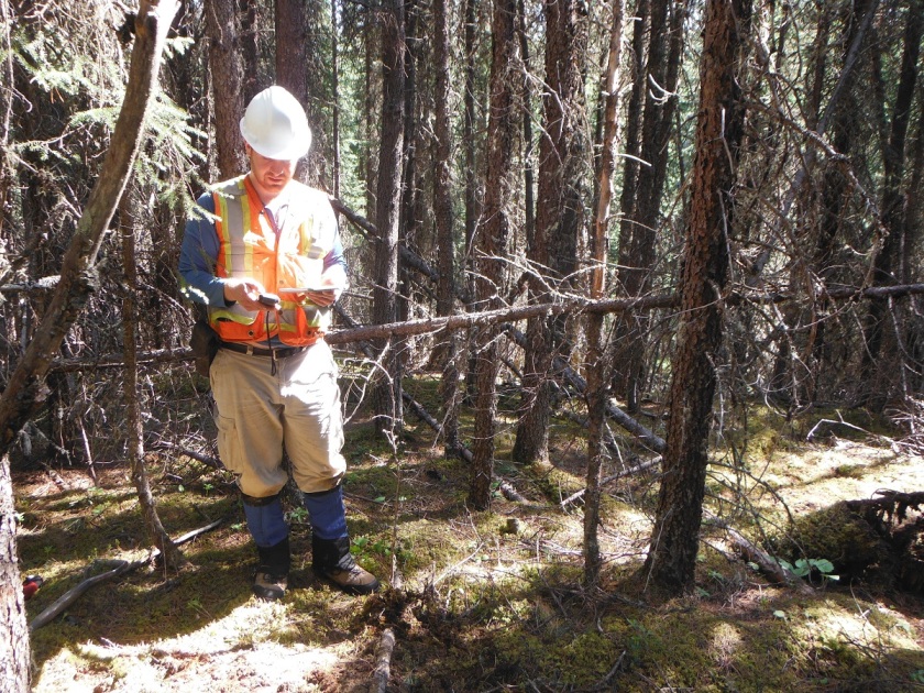
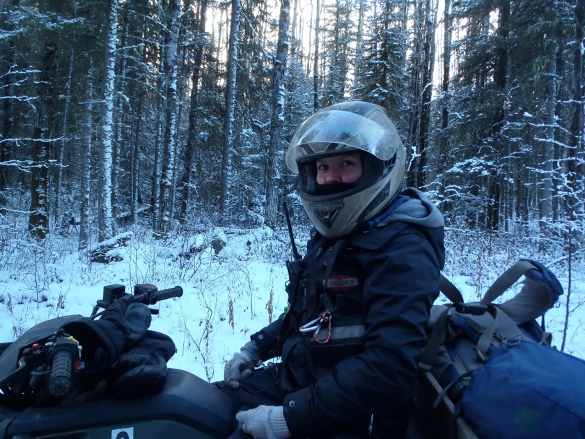
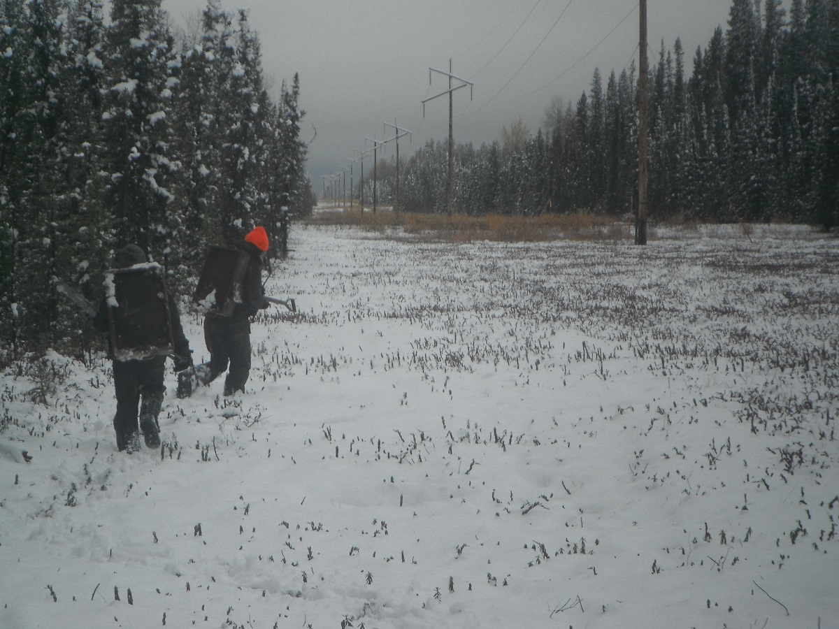
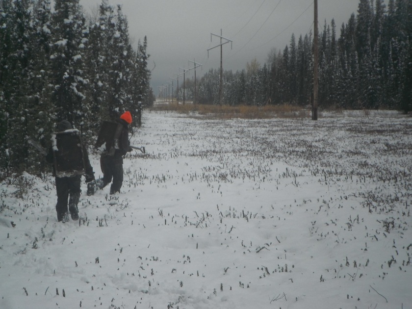
The majority of Tree Time’s archaeological work is done in the context of Historic Resources Impact Assessments, but what is an Historic Resource?

People are sometimes confused about what constitutes an historic resource because it is a very broad category. The first thing to come to most people’s mind would likely be the contents of a museum but as discussed below, historic resources encompass far more than the displays at museum. In the simplest sense an historic resource is anything of significant interest to a community, a cultural group, historians, archaeologists, or other scientists.

Alberta’s Historical Resources Act defines Historic Resources as:

any work of nature or humans that is valued for its palaeontological, archaeological, prehistoric, historic, cultural, natural, scientific or aesthetic interest.”

A Historic Resource Site is any place where Historic Resources are found. When we say “site” people most commonly think of an archaeological site, but this is only one type. Alberta Environment and Parks has defined six categories of Historic Resource sites – archaeological, cultural, geological, historic, natural and palaeontological. However, an Historic Resource site can fall into multiple categories – one doesn’t take precedence over another. Some examples of this are the Big Rock Erratic at Okotoks which is classified as both a geological and an archaeological historic resource site and the Frank Slide which is both a geological and historic site.

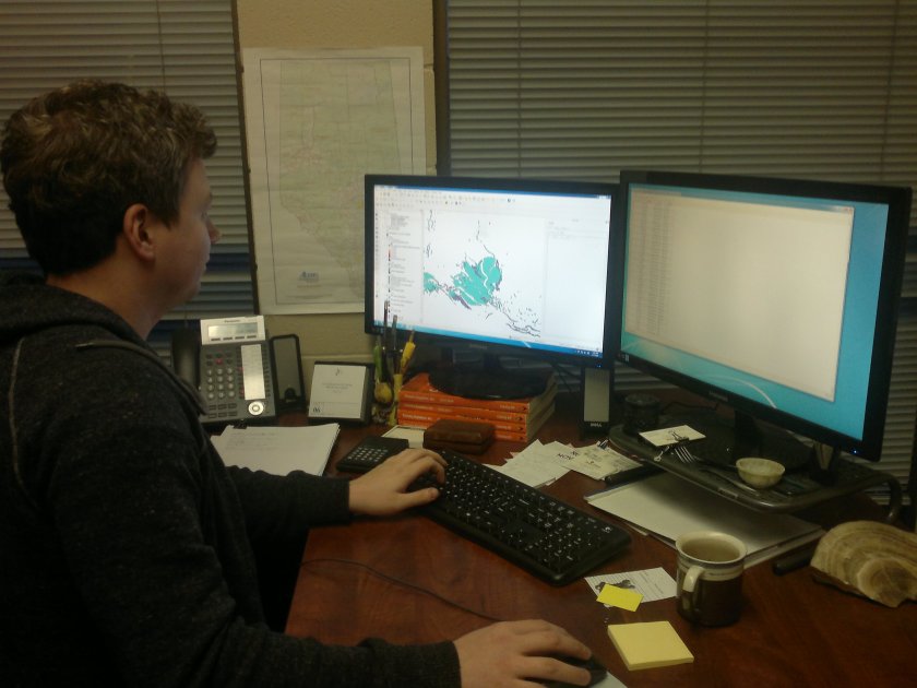
The government of Alberta keeps track of all the known historic resource sites in the province. To do this they use a tool called the Listing of Historic Resources. This listing is a database that contains information about historic resource sites such as their location and a description of what they are and what condition they are in. It is important to be aware that not all historic resources are recorded in this listing as many of them have not been recorded yet and the listing is not updated every day.

Some examples of Historic Resources sites found in Alberta:

Archaeological Sites

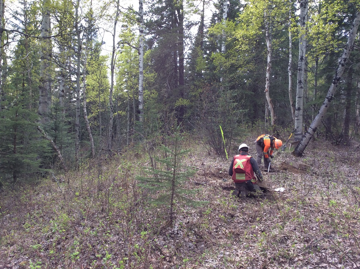
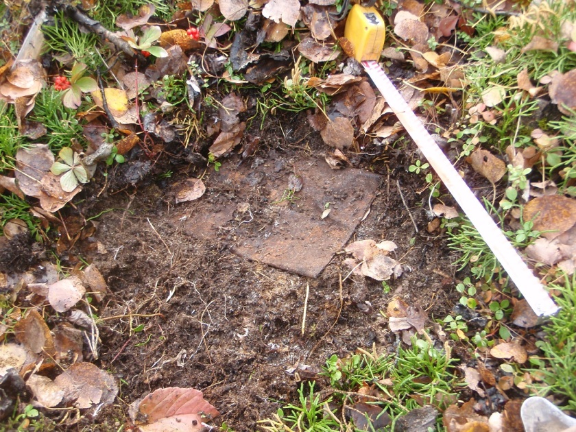
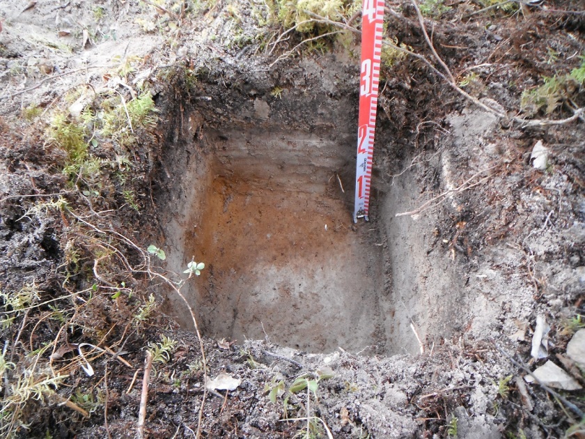
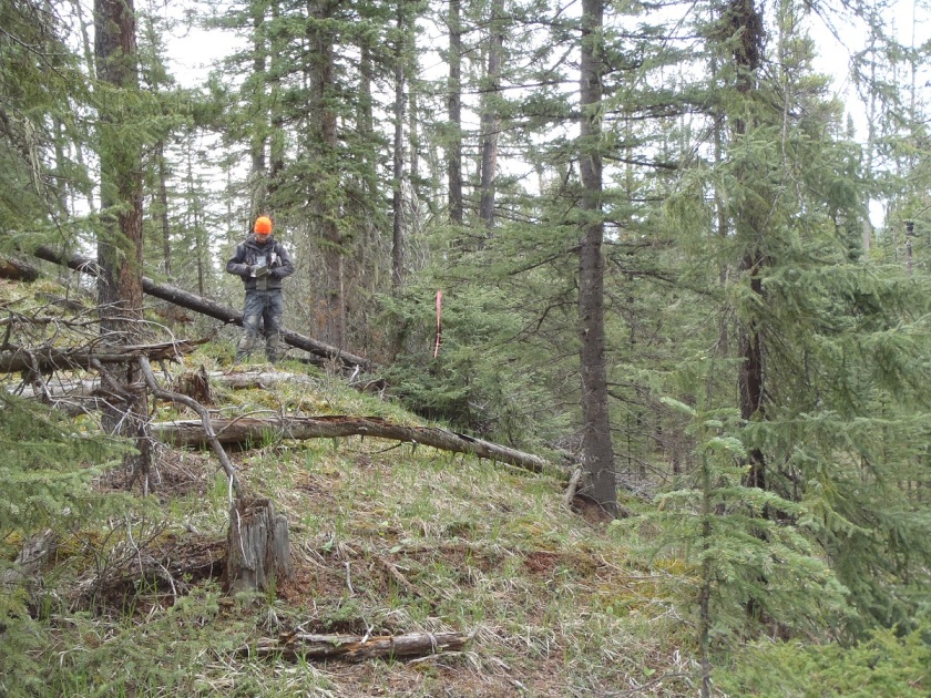
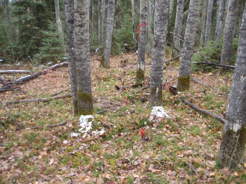
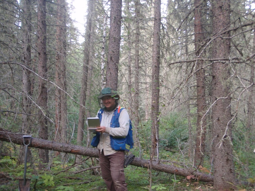
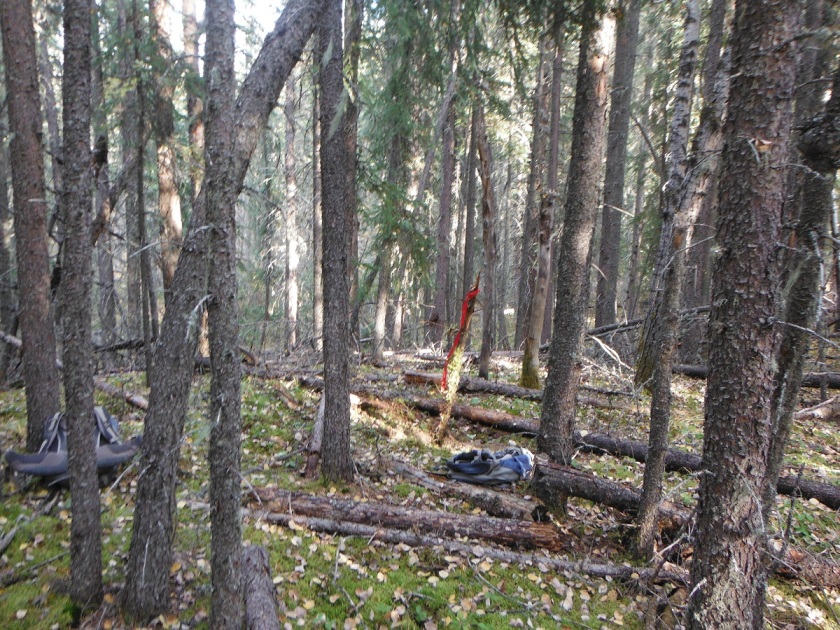
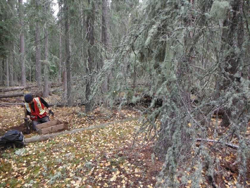
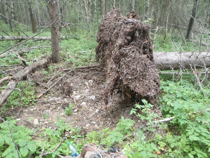
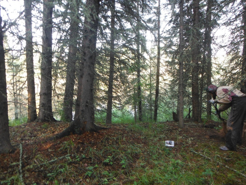
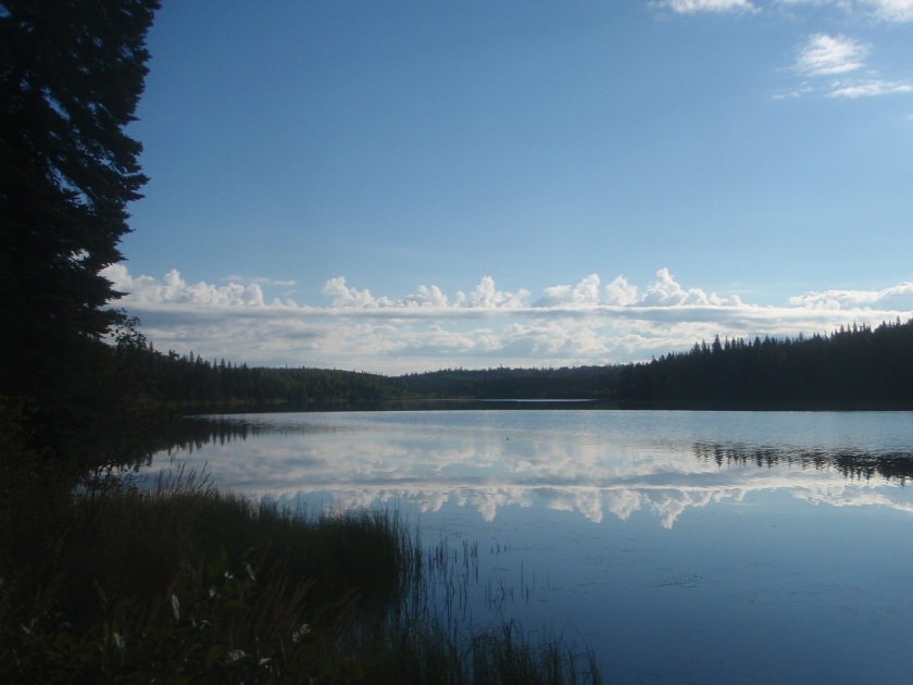
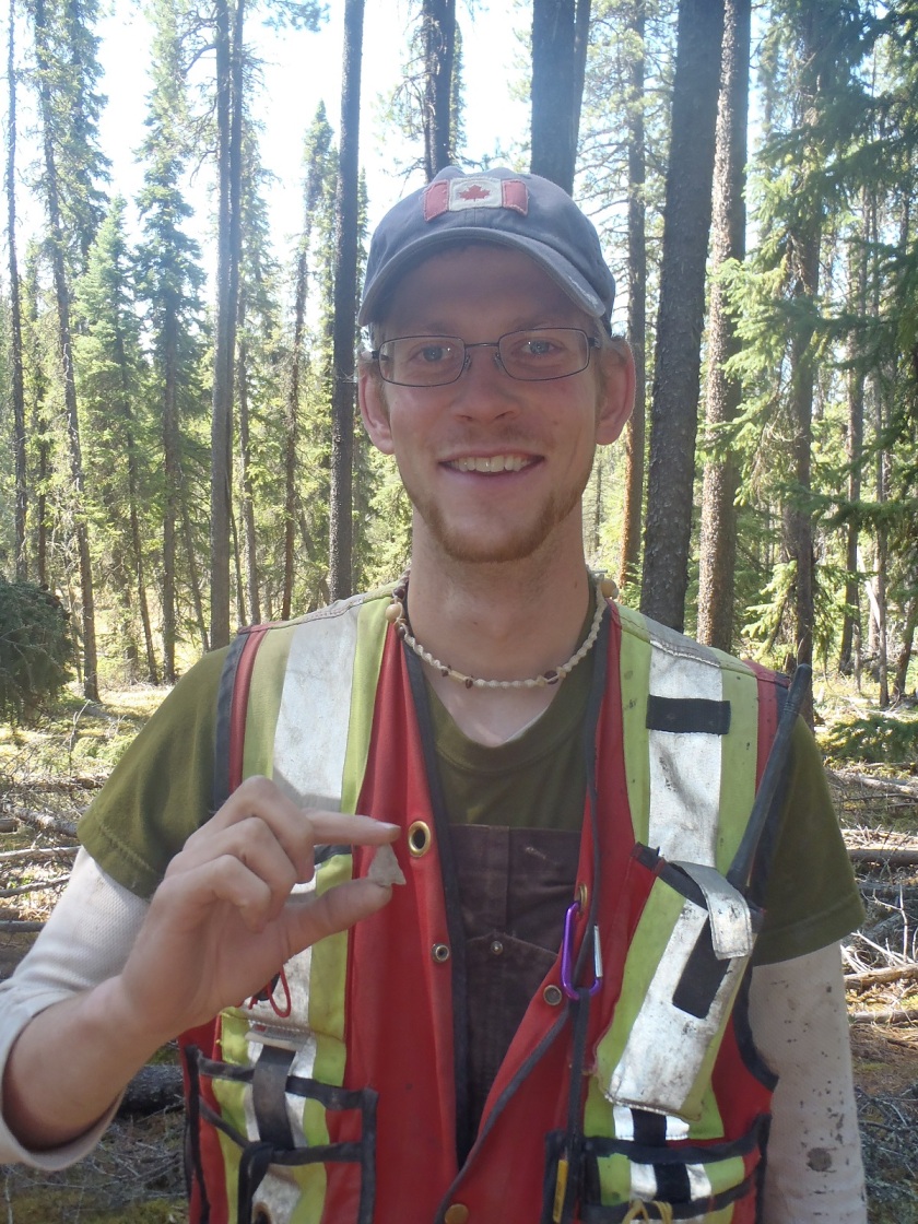
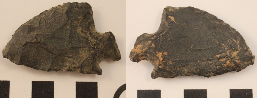
Archaeological sites are areas that have been occupied by humans in the past and have evidence of that occupation in the form of artifacts found on or under the earth’s surface. Some examples of archaeological sites common to Alberta include precontact campsites, rock art, tipi rings, buffalo pounds, homesteads, trails and medicine wheels. Some well known examples of archaeological sites in Alberta include Head Smashed-In Buffalo Jump and the Bodo Archaeological Site.

Cultural sites

Cultural sites are sites that have been identified as significant to a specific cultural group by members of that group. These sites often include historic villages, cabins and community campsites, burials, prayer trees and other ceremonial sites. The majority of Culturally Significant sites are of First Nations origin, but not all are. Some examples are Pierre Grey’s Trading Post, the St. Charles Mission Site, the Grande Cache Dinosaur Tracks site, the Ukrainian Cultural Heritage Village and Áísínai’pi (Writing-on-Stone) rock carvings and paintings. Culturally significant historic resources often overlap with archaeological and historic period sites.

Geological sites

This site type will often have overlap with other types of Historic Resources. Geological sites are areas of the province with unique geological features like the Canmore Hoodoos, Hetherington Erratics Field and the Whitecourt / Woodlands Meteorite Impact Crater.

Historic Sites

Historic sites are places that can usually be related back to specific people or events in history. This category is a little more complicated because it includes heritage structures, historic places and districts, and historic period archaeological sites.

The most common Historic Sites are places with preserved historic buildings. The Province tracks historic buildings in a database called the Heritage Survey. Any structure older than 50 years is eligible to be added to this list. This of course includes old buildings, like houses, grain elevators and train stations, but also includes other types of man-made above-ground structures, including earthworks, preserved wagon trails, and early 20th century oil wells. Historically significant structures or places can be designated as Municipal or Provincial Heritage Resources, and protected. Some examples of these include include the Brooks Aqueduct, the Alberta Pacific Grain Elevator near Castor, the Parliament Building in Edmonton and old houses in the Highlands neighbourhood of north Edmonton.

Other Historic sites are areas with known historical significance. While these sites may not have retained any standing structures they are places where significant events are known to have taken place or important historic figures visited. These include the locations of many historic fur trade posts and forts. Some of these sites have been recreated for public enjoyment and educational purposes. Some examples of this are Fort Victoria, Lac La Biche Mission and Historic Dunvegan. Other historic sites in Alberta include the Victoria Settlement, Frog Lake Massacre Site, and the Grand Rapids Portage on the Athabasca River.

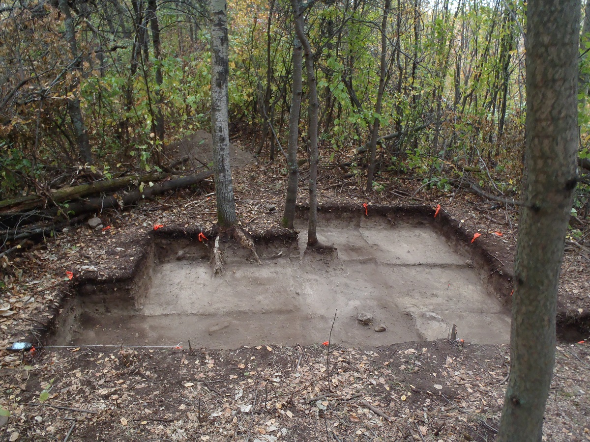
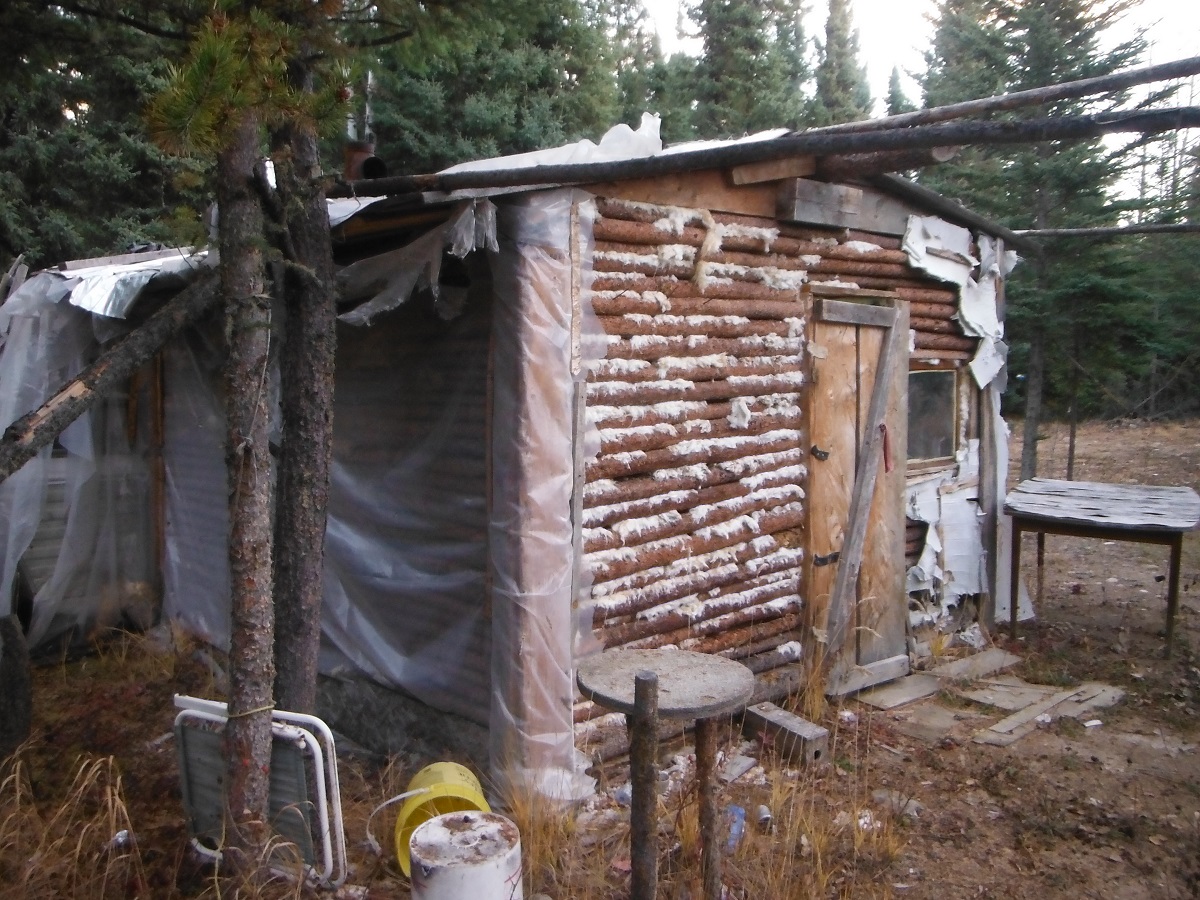
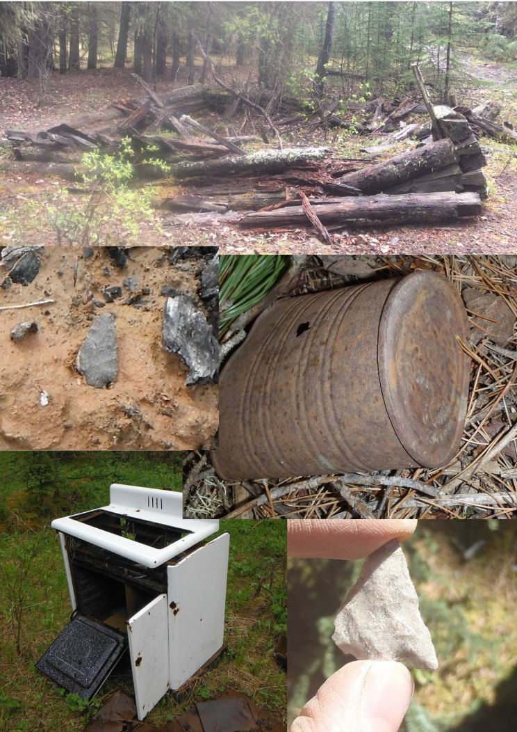
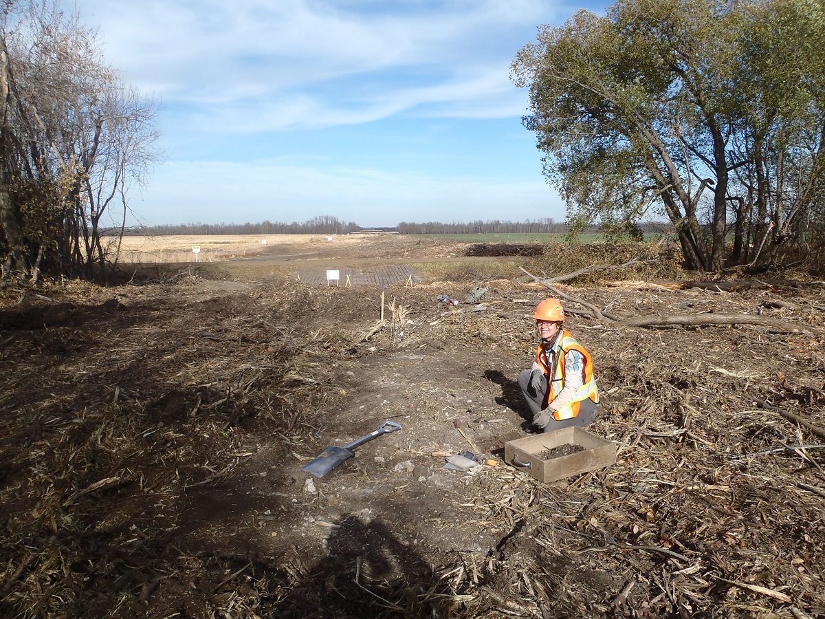
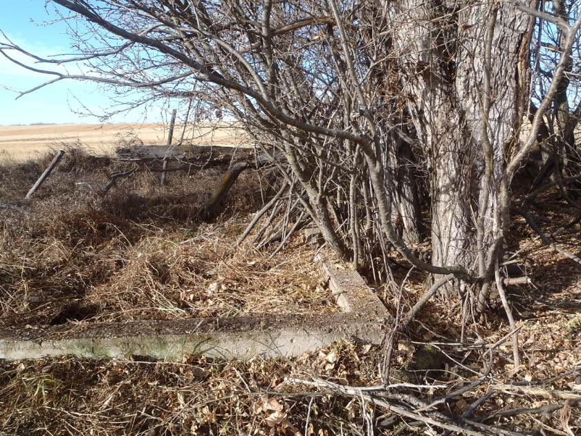
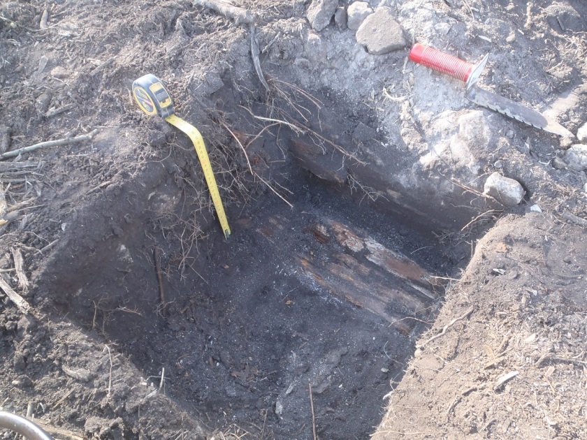
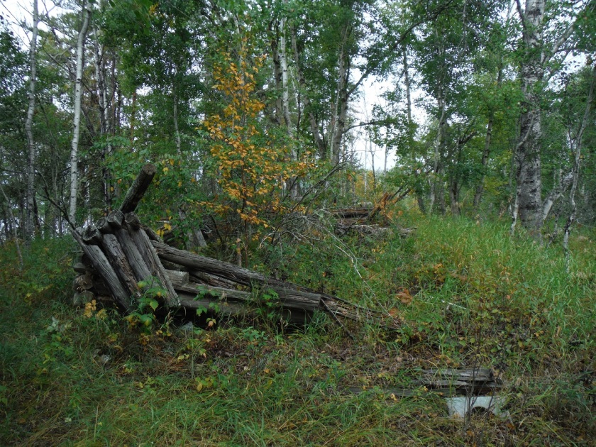
Historic period archaeological sites are the most common example of overlap between two categories. These are places with underground material evidence of the past (archaeological resources) from the historic period. At these places, archaeologists have documented the presence of historic period artifacts, ranging from fur trade beads and tools, to early 20th century cans and bottles. We may or may not have written records about these sites. Common examples of this site type are fur trading posts, pioneer homesteads, and early trapping cabin locations. A less common example would be this plane crash.

Natural sites

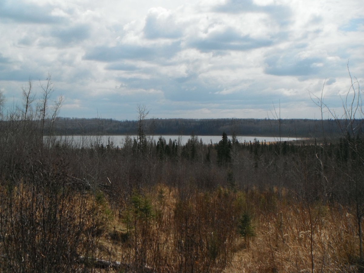
Natural sites are areas of special and sensitive natural landscapes of local and regional significance. These sites often have overlap with archaeological and historic site types. Some examples are Eagle Butte, Purple Springs and the Rumsey Natural area.

Palaeontological sites

These are sites where fossils can be found. Fossils of plants, animals and even dinosaur bones fall into this category. Examples include Dinosaur Provincial Park near Brooks and Pipestone Provincial Park near Grande Prairie.

Kolomea School

In 2013 Tree Time archaeologists got a chance to work on a relatively rare type of historic period site in Alberta: a historic schoolhouse. The Kolomea school site was brought to the attention of Tree Time Services by construction personnel for a transmission line project. The site consists of three concrete foundations surrounded by non-native bush. Local informants identified the foundations as a school, a teacher’s residence and a stable where students’ horses were housed during school hours. The school served the nearby Ukrainian community and was named Kolomea after a region in Ukraine.

PA250704 - Copy
Concrete foundation identified as the teacher’s residence.

Tree Time undertook investigations at the school with the goals of assessing if the site was a historic resource; confirming the function and age of the foundations; determining the significance of the site to the surrounding community and to the province, and making recommendations regarding future management of the site. These normal objectives of Historic Resource Impact Assessment were complicated by the fact that construction had already started, and the site was partially inside the transmission line right of way.

To confirm the function and age of the foundations we referred to archival airphoto searches, historic land title searches, local history books, provincial archive searches, interviews with local informants and current landowners, and conducted small test excavations.

Using the Glenbow Museum Archives School Districts Database website we were were able to perform a search by legal land description to find out which school district our site was located within. This search indicated that the site was the Kolomea school. Having the name of the school helped us to pursue the next step – an historic land title search which further corroborated what we had learned through the Glenbow Museum Archives.

Local histories and archival searches through the Provincial Archives of Alberta confirmed that a one-room schoolhouse was built at this location in 1906. These records indicated that the one-room schoolhouse was replaced with a larger school in 1929. The construction date of 1929 for the large school confirmed that the site is a historic resource. We were able to find archival photos from the 1920s of the one-room school house and one from the 1930s showing the larger school. The photo of the larger school matches the location and general shape of the large foundation currently at the site.

To test and corroborate the archival and historical information, and to confirm the functions of the three buildings, four 50 x 50 cm test units were excavated at each of the foundations. These excavations resulted in the recovery of historic construction debris (concrete, brick, nails, window glass), buttons, fragments of glass vessels, porcelain, clinker (slag from coal heaters in the buildings), bone (probably burned in the stoves), tin and possibly bakelite (early plastic). Excavations in the house foundation uncovered a possible floor board. At the start of the project we had identified the northernmost foundation as the barn or stable, but owing to the discovery of a potential floor board during the excavation of this foundation we determined that it was more likely the house foundation and the southwestern foundation was the stable. We were hoping to find artifacts like jacks or marbles that would clearly represent the presence of children, but we had no luck in that department.

PA240657 - Copy
Excavation unit with possible floor board.

Historic documents indicate that the school was closed in 1952 and the building was moved to Lavoy, AB by the Catholic Church, where it still functions as a church today. The barn was also moved from its original location but is still located on the same quarter section. The teacher’s residence appears to have been moved or demolished, but we didn’t find any records of its history. Archival airphoto searches and interviews with local informants were not successful in identifying the location of the original one-room school house. We suspect that the foundation that has been identified as the house might have been the original one-room schoolhouse which was re-purposed as a teacher’s residence when the new school was built.

Kolomea school is a unique site that is strongly associated with the Ukrainian settlement of northeast central Alberta and can shed light on the poorly-documented lives of rural children in the mid-20th century. While we didn’t find any direct evidence of children at the site (except a few lost buttons) further explorations at the site would likely turn up some interesting and nostalgic material. The site was protected by temporary fences around the foundations while construction was completed to avoid any accidental impacts. The government of Alberta has granted the site an Historic Resource Value of 4h,a (historic and archaeological). This means that no more development can happen at this site without archaeologists doing a lot more work here.

DSCF2004 - Copy
The stable foundation protected by temporary fencing.

Introduction to CRM Part 5: Reporting

Once we have surveyed our targets and evaluated any sites we have found, it is time to return to the office. All of our notes are taken on an ipad in the field. Now all we have to do is export our notes into a database which eliminates the hours spent on data entry.

Note taking is extremely important for archaeologists (Figure 1). The notes supply researchers the context of the artifacts. In this case context means the precise location of the artifact and it’s association with other artifacts and landscape features. This helps researchers determine such things as the relationships between artifacts on a site, it’s position in time and space, and even how it is related to different archaeological sites (Figure 2). Without notes and proper excavation methods, the context in which the artifacts were found is lost forever, and the artifacts have little scientific or interpretive value.

DSCF2352_resized
Figure 1. Eric taking notes on an iPad that will later be used to interpret the site.
PA030741_resized
Figure 2. An artifact in it’s original context found at an historic site.

We also catalogue all of the artifacts that were collected in the field. We take measurements, weights, and note details such as material and artifact types, and enter them into a database (Figure 3). This along with the site notes gives us the information we need to write our reports.

01072015172
Figure 3. Madeline is weighing an artifact.

In the final stage of the Historic Resources Impact assessment, we compile a report of all the work that we have done and submit it to our clients and the government. The report identifies which developments need to be modified to avoid impacting significant archaeological and historic resources. The site information is included in a government database of all the sites in Alberta as a reference for future industry development as well as researchers. This minimizes the impact that our clients have on Alberta’s history while preserving the past for future research and education.

Introduction to CRM Part 4: Evaluating a Site

DSCF1606_resized
Figure 1. Positive shovel test that contained lithic debitage.

When we identify a site, we conduct further evaluative testing to determine the type, character, and extent of the site. This is done according to government guidelines, and depends on the type of site, and the type of landform. If the landform allows for it, testing occurs in each cardinal direction or in a grid. Some sites are found on ridges or point terraces, and so in these cases, it is not possible to test in all directions (Figure 1).

Tree Time’s standards are that there must be three negative tests spaced at most 10 m apart in each direction from any positive. Sometimes additional tests are required in order to determine the significance, the size, and type of the site. For example if none of the evaluative tests were positive, further testing might be done at closer intervals to better determine the significance of the site. In addition to rigorous note taking, we also map and photograph the site (Figure 2).

P6050160_resized
Figure 2. Vince taking notes at a site.

The evaluation of the site is an important step for two main reasons. The first is to enable the government to maintain an accurate site database and to better inform future researchers of the size and type of sites are in the area (Figure 3).

PA030750_resized
Figure 3. We are evaluating an historic site by flagging artifacts with red flagging tape.

Secondly, in this stage we determine the extent and significance of the site. If a client decides to avoid the site, delineation allows us to more precisely buffer the site. This is important because it allows the development to occur as close to the original plan as possible while still avoiding impacts to the site. In addition, if a client chooses to mitigate their impacts to the site through excavation, a more detailed evaluation of a site allows us to better predict the productivity of the site, and to render cost estimates of any mitigation work more accurately.

DSCF1930_resized
Figure 4. Buffer flagged around the site with orange flagging tape.

Once we have surveyed our targets, evaluated any sites we have found, and have finished our notes, it is time to return to the office (Figures 5 and 6).

P9010529_resized
Figure 5. Reid is finishing his notes before we move onto another target.
PB210773_resized
Figure 6. After a long cold day, Brittany heads back to the office.

Introduction to CRM Part 3: Archaeological Survey

Using information compiled in the office, the next step of an HRIA is to leave the comforts of home behind and to venture into the field. Although there is a perception of archaeologists working at large excavations, often dressed in khakis and maybe wearing a fedora, archaeological survey is the most common type of field work in the CRM sector. So for now, we will focus on archaeological survey and discuss archaeological mitigation in an upcoming blog.

The purpose of an archaeological survey is to visit the high potential target areas we identified in our background research and GIS review in order to see if there are any historic or archaeological sites. We travel to these high potential locations using various means of transport including trucks, ATVs, Argos, the occasional helicopter for the most remote locations, and a lot of hiking (Figures 1 and 2).

DSCF1848_resized
Figure 1. Teresa and Vince in an Argo travelling to target areas.
DSCF2186_resized
Figure 2. Archaeology happens in all weather as Teresa and Brittany hike in snow to our target areas.

When we arrive at these locations, we use experience and expertise to determine if the landform has potential for archaeological and historic sites. For example, is this spot flat and dry? Would we like to camp or hunt from here? High, dry areas, and spots that have nice views are often tested. In fact sometimes we identify a site in the exact spot where we dropped our gear for lunch, as we naturally tend to stop on the best part of the landform (Figure 3).

DSCF2021_resized
Figure 3. Our gear placed at a positive shovel test, flagged with red flagging tape.


The most common method of subsurface sampling that we use is screened shovel tests (Figure 4). This means we dig holes about 40 cm square and 30 to 40 cm deep and screen all of the sediment in portable screens. If there are any tree throws or surface exposures, we also conduct opportunistic examinations of these for artifacts (Figure 5).

DSCF2041_resized
Figure 4. Matt is shovel testing.
P7190907_resized
Figure 5. Picture of a tree throw that allows for opportunistic sampling.

There are several different sampling strategies that we use, these include systematic, semi-systematic, and judgmental testing. Systematic testing is the term we use when we place tests using a set interval, for example digging a test every 10 m along a landform. For judgmental testing we do not use a set interval instead we place shovel tests on the best part of a landform based on our past experience and conceptual models of how people lived on different types of landforms. Finally, semi-systematic testing is a combination of the previous two. For this method we place tests on the best locations of a land-form while trying to maintain a certain overall density of testing.

The shape of the landform helps determine what type of sampling strategy to use to test a target. A long uniform ridge might be better suited for hybrid or systematic testing, while a hillock might be more often tested in a judgmental manner (Figure 6).

DSCF1867_resized
Figure 6. Brittany testing a target using a semi-systematic strategy.

If the tests are negative, then we write our notes and move on to another location to survey. However, this does not mean that we can definitely say there is not a site at the location. Negative results only reduce the chance there’s a site at a location. To be 100% sure, we’d have to do a lot more excavation (Figure 7).

P9140588_resized
Figure 7. Although a nice area near water, we did not identify a site here.

On the other hand when we do identify a site, then we stay at the location to undertake further evaluative testing (Figure 8).

P5270044_resized
Figure 8. Vince is very happy after identifying a site when he found a point in a shovel test.

Introduction to CRM Part 2: Development Screening and Project Planning

The first step of a historic resources impact assessment (HRIA) happens in the office. Once we have the plan for a development, we need to assess whether the footprint will impact any recorded sites or if it has the potential to impact any unrecorded sites. We use our experience and knowledge of archaeology, GIS data, and databases of recorded sites in order to identify high potential areas that might have any archaeological and historic resources (Figure 1). Although this stage of archaeology does not capture the imagination of the public and isn’t very exciting or glamorous, it is the most important part and the foundation of our work.

01072015160
Figure 1. Corey is targeting areas of high potential using QGIS.

High potential areas vary by region, depending on the geography and the history of the area. Generally areas that people would camp or travel through are considered high potential; these include well-defined landforms and areas near water. We also take into account the environment of the past. For example, shorelines fluctuate, and rivers and streams may change course or dry up. Areas near water generally have higher potential because they were used as a method of transport, offered fishing opportunities, and, of course, they were also a source of fresh water (Figure 2).

DSCF1594_resized
Figure 2. View from an archaeological site looking towards a lake.

Sometimes a development plan will conflict with a previously recorded site. In this case, we can recommend either that the development plan be changed to avoid the site, or that impacts to the site be mitigated by excavation. If there are no recorded sites in the footprint, but there are areas that we think are likely to have sites, we recommend field survey. Using GIS data and the research that we have complied concerning the area around the developmental footprint, we create targets of high potential areas to survey in the field. The next step takes us out of the office and into the field.

To keep up to date on Historic Resource regulations and processes, you can subscribe to our quarterly Regulatory Update email.

Introduction to CRM Part 1: Cultural Resource Management

Cultural Resource Management (CRM) is undertaken in many different countries all over the world and it can go by just as many names, Contract Archaeology, Consulting Archaeology, Compliance Archaeology, and Heritage Resource Management (HRM) to name a few. Whatever CRM is called, the underlying purpose is always the same. These archaeologists engage in the protection, preservation, and professional management of archaeological and historic sites. In Canada, this means that we help minimize any impacts planned developments might have on a province’s archaeological and historic resources. These resources include archaeological sites containing artifacts such as stone tools and animal bones (Figure 1), and historic sites consisting of structures like cabins or artifacts like metal tools (Figure 2).

ggox-5dorsvent-174
Figure 1. A stone knife that was recovered from a pre-contact (prehistoric) site.
DSCF2021_resized
Figure 2. A cabin that we discovered during an archaeological survey.

Using our experience in archaeology and research, along with computer programs like GIS, we review development plans and identify recorded sites and areas that have high potential to have archaeological and historical resources (Figure 3). This most commonly results in an archaeological survey of the high potential areas. Another option is to move a development or minimize the potential impacts by changing the way the development will be done.

01072015154
Figure 3. Corey is identifying high potential areas using GIS.

Next, we go into the field to survey the high potential areas (Figure 4). In forested parts of Alberta we do this by shovel testing. If we identify a site, we dig more evaluative tests to determine the nature and extent of it. This allows us to contribute information for the government and other researchers concerning the size and type of sites in the area. In addition, it allows us to more precisely buffer the site for our clients so development can occur close to the site without impacting it. It also makes it possible for us to better evaluate the significance of the site and to render cost estimates for any mitigation work much more accurately.

teresa_resized
Figure 4. Teresa is taking notes about a site.


Once we complete the field survey, we return to the office. This is where we catalogue the artifacts and compile a report for our clients and the government.