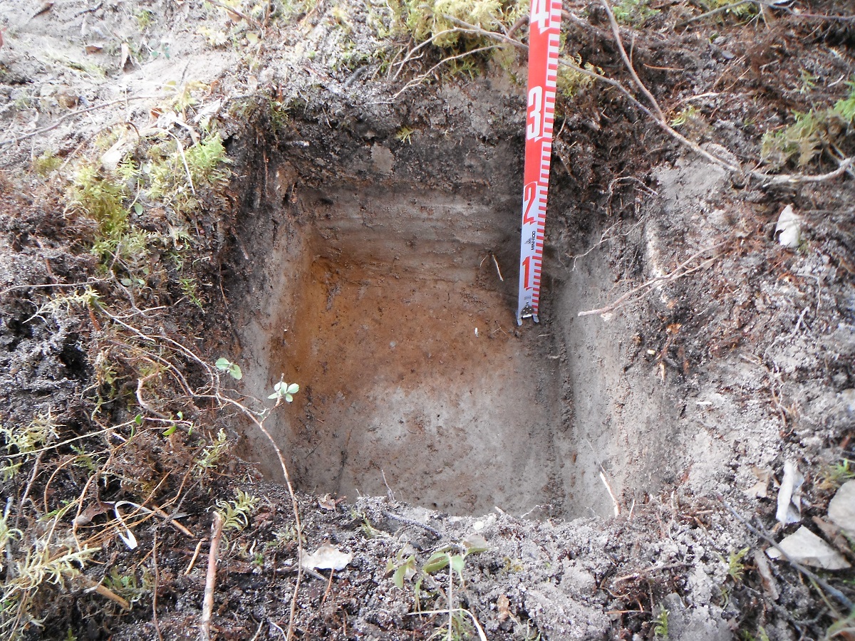
Figure 1. Positive shovel test that contained lithic debitage.
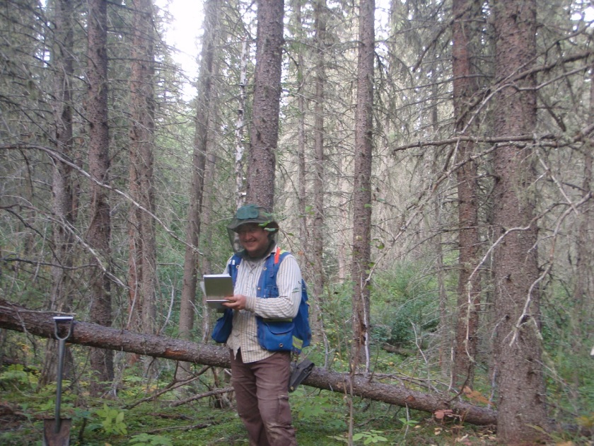
When we identify a site, we conduct further evaluative testing to determine the type, character, and extent of the site. This is done according to government guidelines, and depends on the type of site, and the type of landform. If the landform allows for it, testing occurs in each cardinal direction or in a grid. Some sites are found on ridges or point terraces, and so in these cases, it is not possible to test in all directions (Figure 1).
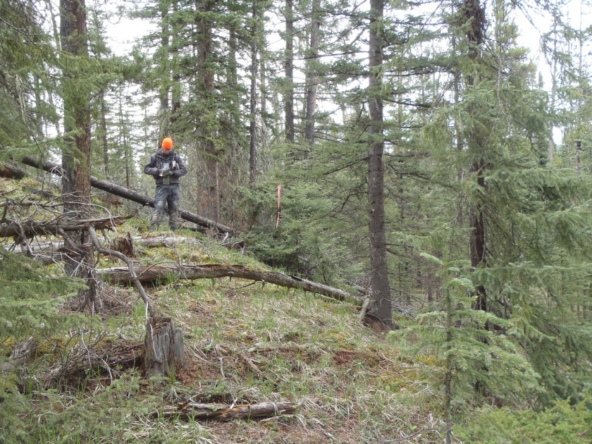
Tree Time’s standards are that there must be three negative tests spaced at most 10 m apart in each direction from any positive. Sometimes additional tests are required in order to determine the significance, the size, and type of the site. For example if none of the evaluative tests were positive, further testing might be done at closer intervals to better determine the significance of the site. In addition to rigorous note taking, we also map and photograph the site (Figure 2).
Figure 2. Vince taking notes at a site.
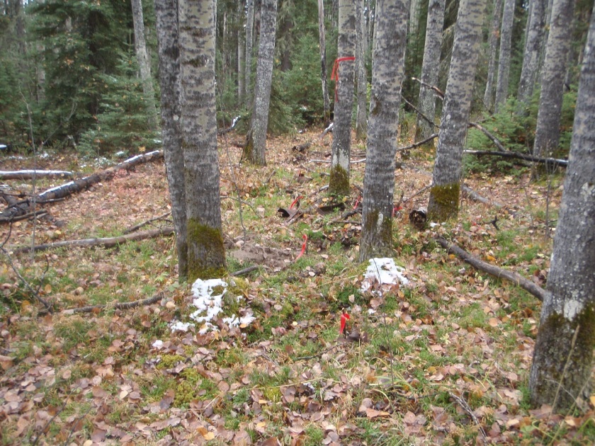
The evaluation of the site is an important step for two main reasons. The first is to enable the government to maintain an accurate site database and to better inform future researchers of the size and type of sites are in the area (Figure 3).
Figure 3. We are evaluating an historic site by flagging artifacts with red flagging tape.
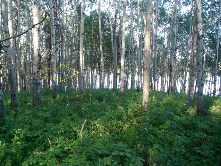
Secondly, in this stage we determine the extent and significance of the site. If a client decides to avoid the site, delineation allows us to more precisely buffer the site. This is important because it allows the development to occur as close to the original plan as possible while still avoiding impacts to the site. In addition, if a client chooses to mitigate their impacts to the site through excavation, a more detailed evaluation of a site allows us to better predict the productivity of the site, and to render cost estimates of any mitigation work more accurately.
Figure 4. Buffer flagged around the site with orange flagging tape.
Once we have surveyed our targets, evaluated any sites we have found, and have finished our notes, it is time to return to the office (Figures 5 and 6).
Figure 5. Reid is finishing his notes before we move onto another target.Figure 6. After a long cold day, Brittany heads back to the office.
I have been working in the cultural heritage sector since 2008. I currently work as a permit-status archaeologist at Tree Time Services Inc. in Alberta, but also have excavation and research experience in Ontario, Manitoba, and Greece. I first gained experience in Alberta working as a field technician excavating at the Quarry of the Ancestors for Alberta Culture and Tourism. This experience deepened my appreciation for the province’s rich heritage and prompted me to pursue more work in Alberta.
Recently, I have also been able to pursue more research when I worked as part of a research team for Fort Edmonton Park, looking at First Nations History in the Edmonton area.
I have extensive experience researching, writing, and editing in an academic setting and for the private sector. As part of a research team hired by Fort Edmonton Park, we looked at archaeological, historic, and oral history sources in order to learn more about the Edmonton area in 1600-1850 AD. This was a collaborative project where we worked closely with the other stakeholders of the project including the Fort Edmonton Park staff, Treaty Six representatives and the designers.I have also authored, co-authored, and edited multiple archaeological reports during my time at Tree Time Services. My academic background includes working as a Research Assistant and a Teacher’s Assistant during the course of my Bachelor’s and my Master’s. I also worked for the University of Alberta at their Alberta Land and Settlement Infrastructure Project. During my time there, I examined thousands of scanned microfilm reels concerning early homestead records. This has not only greatly expanded my knowledge of Alberta and its various communities, but the homesteading process and what life was like for Alberta’s early settlers.
I have also work experience in museums and public outreach. Recently I have helped organize a two day public archaeology outreach event at Fort Edmonton Park in partnership with the Strathcona Archaeological Society and Tree Time Services. I also helped organize two evenings for training Fort Edmonton Park interpreters on Alberta archaeology. I first gained experience organizing outreach events as an interpreter for both the Kenosewun Museum and Captain Kennedy House Museum for the Government of Manitoba in 2008 and 2009. I was responsible for interpretive program development including tours, special events, and displays. I conducted and coordinated research with my assistants on a variety of subjects, ranging from local histories to native fauna and flora. Working for Tree Time Services, I have also organized and participated in Tree Time Services public outreach events at Sundre Museum and World of Wildlife, Rocky Mountain Rodeo, and Peace River Museum.
View all posts by bromano
One thought on “Introduction to CRM Part 4: Evaluating a Site”


One thought on “Introduction to CRM Part 4: Evaluating a Site”