What Projects Need HRA Approval, or “Clearance”?

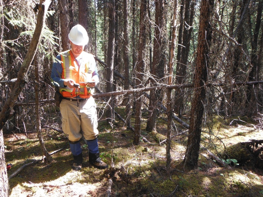
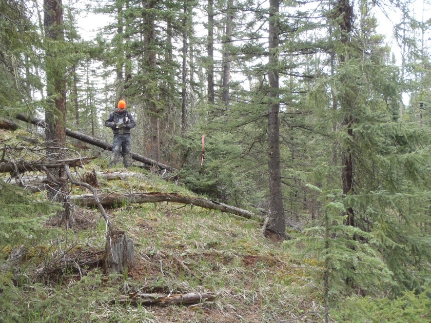
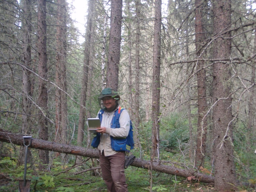
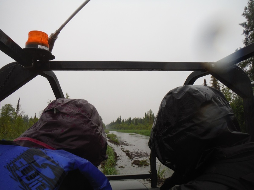
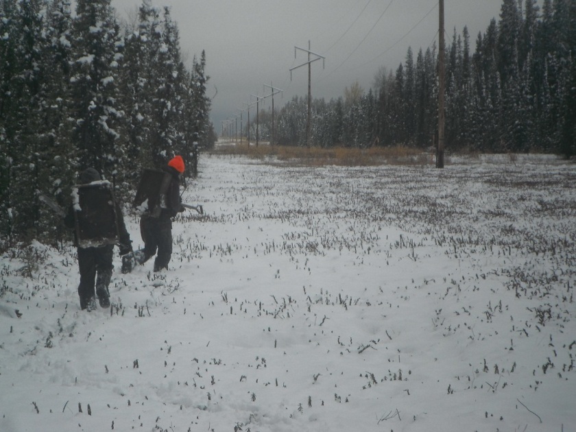
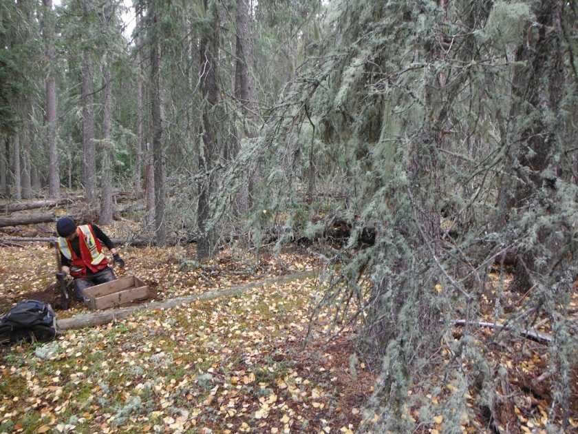
As Consulting Archaeologists, most of our work supports “regulatory compliance”.  We help developers get government approval by assessing and mitigating potential impacts to historic resource sites.  I’m frequently asked by developers whether a specific project requires Historical Resource Act Approval (or “Clearance”, as it was known before 2012).

This isn’t as easy a question as one might think.  Different projects have different levels of impact, and not every development requires approval.  Guidelines for developers are spread across numerous Bulletins and buried in the Instructions for Use of the Listing of Historic Resources.  To make life easier, I thought I’d try to summarize these rules in one place.  Please keep in mind that HRA regulations are constantly changing, so this is a snapshot of the state of the system in spring 2020. If you know of another trigger, or a development class I’ve missed, please let me know.

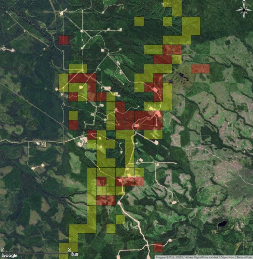
Alberta Culture uses a variety of triggering mechanisms.  The key tool for determining HRA Requirements is the Listing of Historic Resources.   The Listing was originally developed as a screening tool for small-scale oil and gas.  In response to requests from industry and regulatory agencies to provide more transparency and certainty, Culture is moving towards using the Listing for a wider range of developments. 

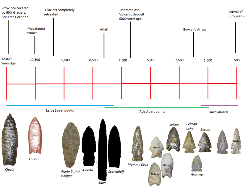
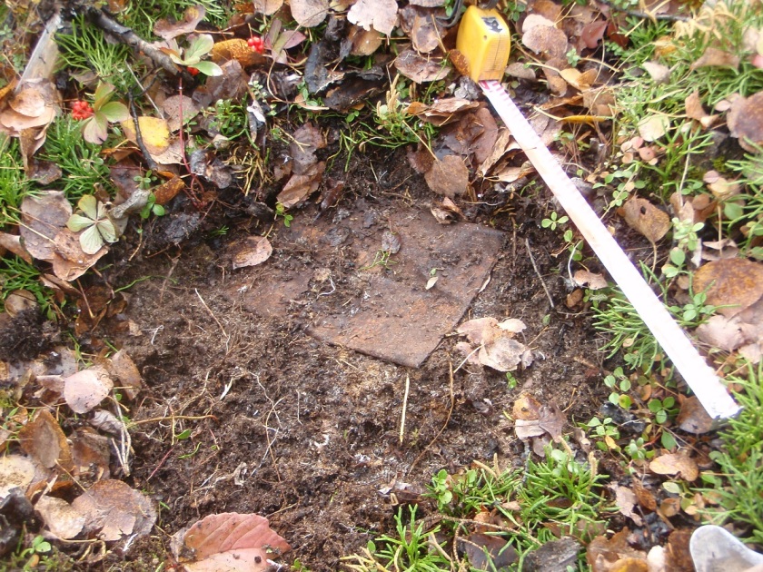
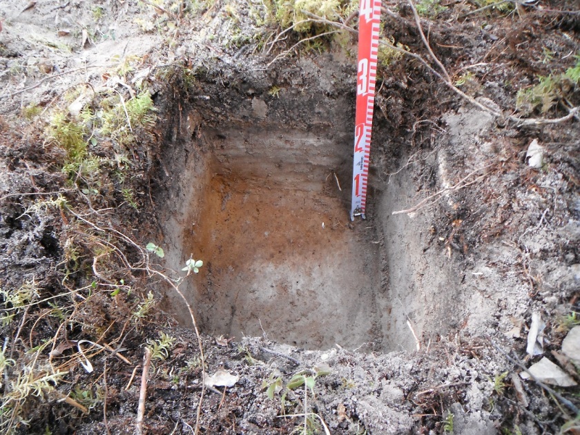
Parcels of land are registered on the Listing with a Historic Resource Value (HRV).  HRVs are ranked from 1 through 4  for known sites, or 5 for lands believed to contain a site (high potential).  Each entry on the Listing also has a class, which represents the type of resource.  Historic resources can include archaeological sites, paleontological sites, Traditional Land Use Areas, and historic buildings.  (You can read more about different types of resources here).  There are still many areas of Alberta that have historic resources potential that are not included in the Listing.  This is only one of of the many tools used during the screening process.

DeerMountain_HRV.jpeg
An example of the Listing of Historic Resources from Deer Mountain, near Swan Hills.  Red are HRV 4a (lands containing known sites). Yellow are HRV 5a (lands likely to contain sites). 

According to the Listing Instructions, there are several types of development that always require an application for HRA Approval:

  • Any project that requires an Environmental Impact Assessment (EIA): These applications generally result in a requirement for a Historical Resources Baseline Assessment.
  • Any project that requires National Energy Board (NEB) or Alberta Utilities Commission (AUC) Approval
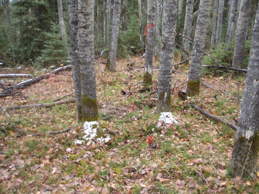
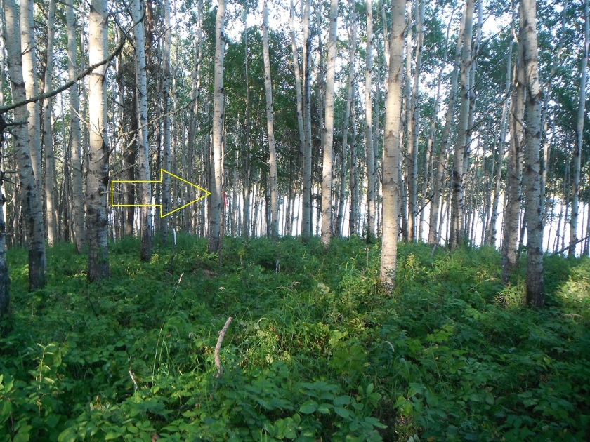
  • Forest Harvest Plans: These can be managed through the special Forestry HRA Compliance process.  This is Tree Time’s specialty. Contact me before submitting an Application in OPAC.
  • Class 1 Pipelines
  • Projects requiring Conservation and Reclamation Approval by Alberta Environment. According to the Conservation and Reclamation Guidelines for Alberta this includes:
    • The construction, operation or reclamation of a well, battery, oil production site, pipeline, transmission line, telecommunication system, mine, pit quarry, peat operation or plant.
    • The conduct or reclamation of an exploration operation for coal or oil sands;
    • The construction or reclamation of a roadway
    • The reclamation of a railway
  • All Area Structure Plans and other long-term municipal planning documents.

Some development types use the Listing to selectively trigger requirements for HRA Approval:

  • Small-scale conventional oil and gas developments (wellsites, pipelines, access roads, etc)
    • HRA Approval is required if the footprint overlaps any HRV Listed lands.
  • Surface Materials (sand, gravel, clay, peat, etc. pits):
    • 5 ha or larger / Class 1 Pits: HRA Approval is always required.
    • Under 5 ha / Class 2 Pits: HRA Approval is required if the project area overlaps HRV 1, 2, 3 or 4 lands (known sites).
  • Subdivisions:
    • Most subdivisions: HRA Approval required if the project area overlaps any Listed lands (HRV 1-5).
    • Simple subdivisions (first parcel out, 80-acre split, lot / line boundary adjustment or parcel consolidation): HRA Approval required if the project area overlaps HRV 1, 2, 3, or 4 lands (known sites), but not HRV 5 (high potential).
  • Oil Sands and Coal Exploration operations (drilling programs and associated clearing, access and reclamation): HRA Approval required if the project footprint overlaps any Listed Lands (HRV 1-5).
  • Geophysical Programs (seismic): HRA Approval Required if the project footprint overlaps HRV 1, 2, 3 or 4, (known sites) but not HRV 5 (high potential).
  • Geotechnical exploration operations(drilling programs, including those in support of other projects). HRA Approval Required if the project footprint overlaps HRV 1, 2, 3 or 4, (known sites) but not HRV 5 (high potential).
  • Pipeline Integrity Digs (and similar operations, including all access, workspace, laydown, etc). HRA Approval Required if:
    • The activities will extend off the original disposition footprint, and overlap any Listed lands (HRV 1, 2, 3, 4 or 5), or
    • Any activities are on HRV 1, 2, 3, or 4C lands, even if they’re limited to the existing footprint.
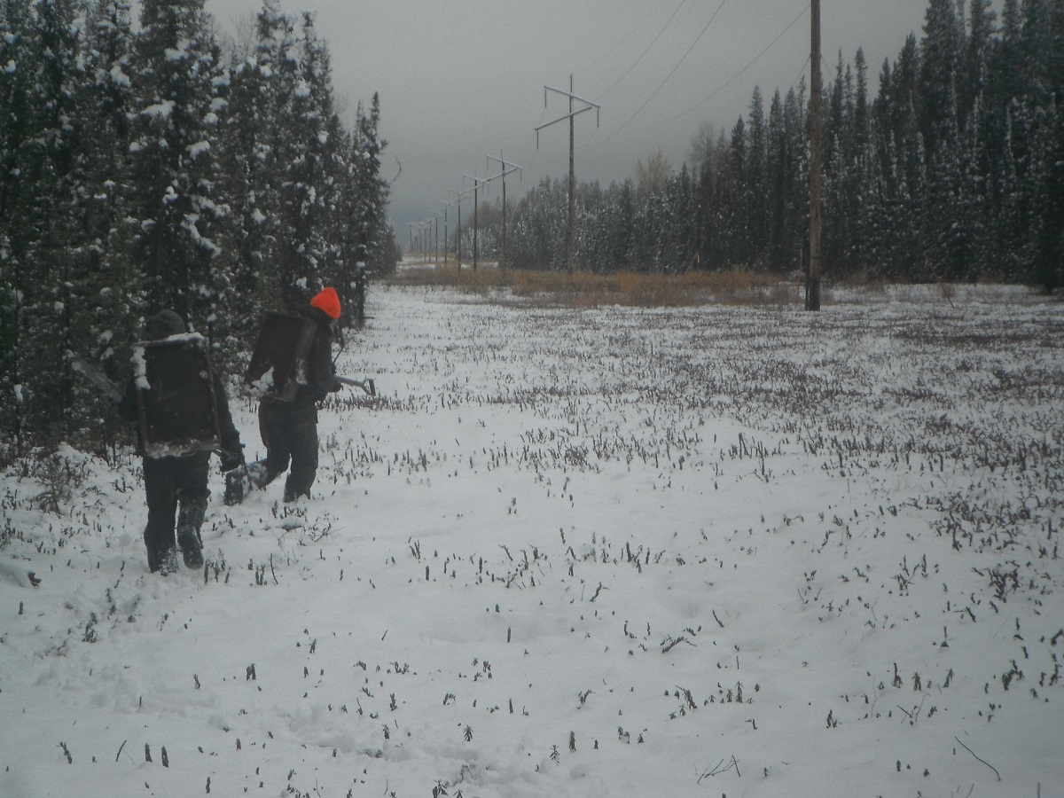
  • Utility Distribution Services (including power, low pressure gas, and water supply projects that aren’t triggered by the EIA, NEB, or AUC processes): HRA Approval Required if:
    • The project footprint overlaps HRV 1, 2, 3, or 4 lands (known sites), or
    • The project footprint overlaps HRV 5 lands (high potential) and involves trenching on undisturbed land (eg. native prairie or forest).

Several other Regulatory processes trigger a review of the Listing and fall under the general Instructions for use of the Listing:

“In the absence of a Land Use Procedures Bulletin specific to the proposed project type and/or industry, the proponent must submit a Historic Resources (HR) Application”

  • Public Lands Dispositions:
    • the LAT (Landscape Analysis Tool) reviews all applications against the Listing and notes a Condition (2060) requiring HRA Approval for any dispositions in HRV 1, 2, 3, or 4 lands (known sites).
    • Dispositions not covered by the Bulletins above, such as miscellaneous leases (MLL), and licenses of occupation (LOC) may also be referred for HRA Approval for HRV 5 lands by approvals officers.
  • Water Act Applications: the Wetland Application Checklist requires submission of the results of a Historical Resources Act “Search”. Any developments that involve significant ground disturbance and overlap Listed lands (HRV 1-5) should be submitted for HRA Approval.
  • Temporary Field Authorization: The TFA Application form requires applicants to check the Listing and requires HRA Approval for all Listed lands (HRV 1-5).
  • Biophysical Impact Assessments: Some municipalities (eg. Calgary) include a check of the Listing, or a requirement for HRA Approval, as part of a Biophysical Impact Assessment.

Generally speaking, any development or activity should be referred to Alberta Culture for HRA Approval if it is:

  1. Located in Listed lands (HRV 1-5), and
  2. Involves disturbance of native prairie or forest, or deep excavation

If you don’t know where to start, or would like someone to review your project before you submit it to Culture, contact me (Kurt) or one of the team at 780-472-8878 or toll free at 1-866-873-3846. You can also email us at archaeology@treetime.ca. We’re happy to help!

What Makes a Site Significant?

During our field seasons we find 100+ archaeological sites every year; however, not every site we find is flagged for avoidance. The decision of whether a site is avoided or approved for impact ultimately comes down to the Historic Resource Management Branch at Alberta Culture and Tourism’s approval of our recommendations. Our recommendations are based on the following criteria of site significance:

Multiple Component: The continued use of a landform throughout time increases the site significance. This can be represented by stone artifacts from different, distinct depths or in different layers. The most obvious multi-component sites are historic period sites (Post-European Contact) with an earlier Pre-European contact component. For example, we have found stone tools in tests conducted around the outside of a collapsed cabins.

12-185~387 - Copy
Matt digging at an historic site in 2012, looking for pre-contact components

Integrity: Sometimes we assess areas after they have been disturbed. We do this either to assess the level of impacts from the disturbance or protect sites from any further impacts (site preparation for tree planting, gravel pits, etc.). If we believe the site has been completely disturbed and the artifacts have lost their context, we will collect a representative sample of artifacts and recommend approval for the impacted area.

Datable Materials: The presence of organic material is necessary to determine how old the site is. This is quite rare in the boreal forests of Alberta because the acidic soils do not preserve things such as bone or wood. Often, the only datable material we find is charcoal which can be used for Carbon dating. The ability to date the site is important as archaeologists are still figuring out the evolution of tool use and the spread of people throughout Alberta.

Exotic Materials: The sites we find are typically scatters of tool stone such as quartzite and chert. These materials were local to the area, collected from stream beds by the past flintknappers. When we find something not native to Alberta, we consider the site to be of high significance. The presence of obsidian suggests trade or travel from areas with volcanoes. The presence of Knife River Flint suggests trade or travel from North Dakota.

base - Copy
Knife River Flint dart base found in 2013
KRF - Copy
Distance from point to KRF quarry in North Dakota

Presence of tools or diagnostic materials: The majority of sites we find are simply areas where a stone tool was made. To find a tool is significant because it tells us what activities were happening at the site. These tools can include things such as: scrapers for scraping hides; knives for butchering animals; wedges or adzes for woodworking; or projectile points (e.g. arrowheads) used for hunting. Projectile points can also be diagnostic of certain groups (e.g. Clovis) or certain time periods (e.g. spears>darts>arrowheads).

timline - Copy
Common Alberta point typologies and timeline

Distinct intra-site activity areas or features: Sometimes we can find things that suggest a certain activity happened at a specific area of a site. This can be represented by what we call features which are non-portable representations of human activity. These can be such things as: post holes, hearths, or walls. We can also find distinct activity areas such as the flake scatter identified at the Brazeau Reservoir.

Context - Copy
Flintknapping area identified during the ASA-EC Brazeau Reservoir survey

Uniqueness of the site in the surrounding area: We often find ourselves in areas of the province that have never had an archaeological survey before. I’ve found sites in areas of the province that we would describe as “the middle of nowhere.” Basically areas that are from major rivers or known travel corridors that were used by people in the past. To find a small scatter of flakes in an area without another site for another 20 km in any direction is more significant than finding another site in densely occupied areas such as the Fort McMurray region.

Site size: Our work is primarily concerned with determining how large the site is for purposes of avoidance by our clients. When we find very large sites these are considered of high significance due to the increased potential of finding anything listed above.

Why do HRIAs (Historic Resource Impact Assessments)?

“Archaeological heritage is an essential element in the affirmation of our Canadian identity and a source of inspiration and knowledge. It is the policy of the Government of Canada to protect and manage this heritage.1

This sentiment is echoed through all levels of government and most provinces2, territories, and municipalities have either a piece of legislation, regulation, policy, or official plan in place that enables the government to protect heritage resources on lands within its jurisdiction.

For example, it’s stated in Alberta’s Historical Resources Act that when the Minister thinks a proposed operation or activity is likely to alter, damage, or destroy a historic resource, the Minister may order that person to undertake an HRIA3. This means that the Minister of Alberta Culture and Tourism (ACT) has the authority to require developers to conduct studies that assess the potential impacts of their development on historic resources. In Alberta, these studies are called “Historic Resources Impact Assessments” or HRIAs.

If the HRIA determines that there are historic resources located within the development footprint that may be impacted by the proposed development, ACT may require that the impacts be mitigated before the project will receive development approval (i.e. through modification of the development plan or the completion of a Historic Resource Impact Mitigation / HRIM). The goal of HRIA and HRIM studies is to ensure that significant historic resources are preserved through the development and land use planning processes. As such, the Minister may require the authority responsible for approving the proposed development (such as Alberta Environment and Parks, Agriculture and Forestry, or the Alberta Energy Regulator) to withhold or suspend the approval (or licence/permit/etc.) until the HRIA/HRIM requirements have been satisfied.

Have you been required to obtain a permit-status archaeologist to undertake an HRIA/HRIM? We’d be happy to discuss how Tree Time Services can best help you through the approvals process so you can focus on your core business. Call Kurt at 780-472-8878 or email archaeology@treetime.ca. 

To keep up to date on Historic Resource regulations and processes, you can also subscribe to our quarterly Regulatory Update email.

1 Archaeological Heritage Policy Framework, Department of Canadian Heritage, Ottawa, 1990.

2 “We value the natural heritage and human history of Alberta because they help us understand and value the past on which our present is built, and give us a deepened awareness of our common roots and shared identity.” The Spirit of Alberta: Alberta’s Cultural Policy, 2009:3

3 Alberta’s Historical Resources Act, Section 37.2

HRV 4C – What Happens Now?

You have made a plan for a development and reviewed your plan against the Listing of Historic Resources. You’ve found that you have a conflict on your land parcel, it is listed with an HRV of 4C. What does that mean?

An HRV of 4C indicates that an historic resource site is located on that parcel of land, and that one or more First Nations groups have reported that the site is of cultural significance to them. These sites are usually Traditional Use Sites with a historic component, or spiritually significant or religious sites. Some examples include historic cabins or trails, community campsites, prayer trees or other spiritual sites, burials, cemeteries, rock art sites, and mission sites.

Before you can proceed you or your historic resource consultant must submit a Historic Resource Application through OPAC (the Online Permitting And Clearance system) to the Aboriginal Heritage Section of Alberta Culture & Tourism. Aboriginal Heritage will review the development plans against their confidential records of the site and determine whether impacts are likely. If impacts to the HRV 4C site are likely, Aboriginal Heritage will issue site-specific Consultation requirements.

This means you may have to Consult with the First Nations who have Listed the site. More than one group may have an interest in the site because of shared history and land use. Be sure to consult with all interested parties in this matter. Consulting with only one group on overlapping Listings is not sufficient. Alberta Culture will inform you if Consultation is required or not, and with which groups site specific Consultation is required (Listing of Historic Resources, Instructions for Use). It’s very important to understand that any Site-Specific Historic Resource Consultation requirements are separate from and in addition to any other standard Consultation requirements regarding Treaty rights and land use. You may have to go back to First Nations you’ve already Consulted about your project in general, and may have to Consult with different groups or individuals.

Whether you are required to Consult with First Nations groups or not, an HRV of 4C may also result in a requirement for an Historic Resources Impact Assessment. The fact that a specific historic resource has been identified within your land parcel does not mean that the rest of the area has been surveyed and that there is only the one site there. It only indicates that an historic resource site has been reported. An historic resources impact assessment requirement is likely because areas that are considered culturally significant today usually have been considered important for centuries, or millennia. Areas with an HRV of 4C have a high potential to contain additional historic resources such as archaeological sites.

You may be required to redesign your project to avoid the HRV 4C historic resources site. If the site can’t be avoided, mitigation may be required. Mitigation of archaeological and historic sites typically requires extensive shovel testing, detailed block excavations proportional to the percent of the site to be impacted and detailed mapping of the site. Mitigation of impacts to a Culturally Significant site would likely be site-specific, and determined in collaboration with the affected communities.

Our recommendation for HRV 4C conflicts is to identify them early, discuss them with communities in advance, avoid them at the planning stage.

If you don’t know where to start, or would like someone to help you Consult with First Nations contact Kurt or Madeline at 780-472-8878 or toll free at 1-866-873-3846 or email us at archaeology@treetime.ca. We are happy to help.

Introduction to CRM Part 5: Reporting

Once we have surveyed our targets and evaluated any sites we have found, it is time to return to the office. All of our notes are taken on an ipad in the field. Now all we have to do is export our notes into a database which eliminates the hours spent on data entry.

Note taking is extremely important for archaeologists (Figure 1). The notes supply researchers the context of the artifacts. In this case context means the precise location of the artifact and it’s association with other artifacts and landscape features. This helps researchers determine such things as the relationships between artifacts on a site, it’s position in time and space, and even how it is related to different archaeological sites (Figure 2). Without notes and proper excavation methods, the context in which the artifacts were found is lost forever, and the artifacts have little scientific or interpretive value.

DSCF2352_resized
Figure 1. Eric taking notes on an iPad that will later be used to interpret the site.
PA030741_resized
Figure 2. An artifact in it’s original context found at an historic site.

We also catalogue all of the artifacts that were collected in the field. We take measurements, weights, and note details such as material and artifact types, and enter them into a database (Figure 3). This along with the site notes gives us the information we need to write our reports.

01072015172
Figure 3. Madeline is weighing an artifact.

In the final stage of the Historic Resources Impact assessment, we compile a report of all the work that we have done and submit it to our clients and the government. The report identifies which developments need to be modified to avoid impacting significant archaeological and historic resources. The site information is included in a government database of all the sites in Alberta as a reference for future industry development as well as researchers. This minimizes the impact that our clients have on Alberta’s history while preserving the past for future research and education.

Introduction to CRM Part 4: Evaluating a Site

DSCF1606_resized
Figure 1. Positive shovel test that contained lithic debitage.

When we identify a site, we conduct further evaluative testing to determine the type, character, and extent of the site. This is done according to government guidelines, and depends on the type of site, and the type of landform. If the landform allows for it, testing occurs in each cardinal direction or in a grid. Some sites are found on ridges or point terraces, and so in these cases, it is not possible to test in all directions (Figure 1).

Tree Time’s standards are that there must be three negative tests spaced at most 10 m apart in each direction from any positive. Sometimes additional tests are required in order to determine the significance, the size, and type of the site. For example if none of the evaluative tests were positive, further testing might be done at closer intervals to better determine the significance of the site. In addition to rigorous note taking, we also map and photograph the site (Figure 2).

P6050160_resized
Figure 2. Vince taking notes at a site.

The evaluation of the site is an important step for two main reasons. The first is to enable the government to maintain an accurate site database and to better inform future researchers of the size and type of sites are in the area (Figure 3).

PA030750_resized
Figure 3. We are evaluating an historic site by flagging artifacts with red flagging tape.

Secondly, in this stage we determine the extent and significance of the site. If a client decides to avoid the site, delineation allows us to more precisely buffer the site. This is important because it allows the development to occur as close to the original plan as possible while still avoiding impacts to the site. In addition, if a client chooses to mitigate their impacts to the site through excavation, a more detailed evaluation of a site allows us to better predict the productivity of the site, and to render cost estimates of any mitigation work more accurately.

DSCF1930_resized
Figure 4. Buffer flagged around the site with orange flagging tape.

Once we have surveyed our targets, evaluated any sites we have found, and have finished our notes, it is time to return to the office (Figures 5 and 6).

P9010529_resized
Figure 5. Reid is finishing his notes before we move onto another target.
PB210773_resized
Figure 6. After a long cold day, Brittany heads back to the office.

Introduction to CRM Part 3: Archaeological Survey

Using information compiled in the office, the next step of an HRIA is to leave the comforts of home behind and to venture into the field. Although there is a perception of archaeologists working at large excavations, often dressed in khakis and maybe wearing a fedora, archaeological survey is the most common type of field work in the CRM sector. So for now, we will focus on archaeological survey and discuss archaeological mitigation in an upcoming blog.

The purpose of an archaeological survey is to visit the high potential target areas we identified in our background research and GIS review in order to see if there are any historic or archaeological sites. We travel to these high potential locations using various means of transport including trucks, ATVs, Argos, the occasional helicopter for the most remote locations, and a lot of hiking (Figures 1 and 2).

DSCF1848_resized
Figure 1. Teresa and Vince in an Argo travelling to target areas.
DSCF2186_resized
Figure 2. Archaeology happens in all weather as Teresa and Brittany hike in snow to our target areas.

When we arrive at these locations, we use experience and expertise to determine if the landform has potential for archaeological and historic sites. For example, is this spot flat and dry? Would we like to camp or hunt from here? High, dry areas, and spots that have nice views are often tested. In fact sometimes we identify a site in the exact spot where we dropped our gear for lunch, as we naturally tend to stop on the best part of the landform (Figure 3).

DSCF2021_resized
Figure 3. Our gear placed at a positive shovel test, flagged with red flagging tape.


The most common method of subsurface sampling that we use is screened shovel tests (Figure 4). This means we dig holes about 40 cm square and 30 to 40 cm deep and screen all of the sediment in portable screens. If there are any tree throws or surface exposures, we also conduct opportunistic examinations of these for artifacts (Figure 5).

DSCF2041_resized
Figure 4. Matt is shovel testing.
P7190907_resized
Figure 5. Picture of a tree throw that allows for opportunistic sampling.

There are several different sampling strategies that we use, these include systematic, semi-systematic, and judgmental testing. Systematic testing is the term we use when we place tests using a set interval, for example digging a test every 10 m along a landform. For judgmental testing we do not use a set interval instead we place shovel tests on the best part of a landform based on our past experience and conceptual models of how people lived on different types of landforms. Finally, semi-systematic testing is a combination of the previous two. For this method we place tests on the best locations of a land-form while trying to maintain a certain overall density of testing.

The shape of the landform helps determine what type of sampling strategy to use to test a target. A long uniform ridge might be better suited for hybrid or systematic testing, while a hillock might be more often tested in a judgmental manner (Figure 6).

DSCF1867_resized
Figure 6. Brittany testing a target using a semi-systematic strategy.

If the tests are negative, then we write our notes and move on to another location to survey. However, this does not mean that we can definitely say there is not a site at the location. Negative results only reduce the chance there’s a site at a location. To be 100% sure, we’d have to do a lot more excavation (Figure 7).

P9140588_resized
Figure 7. Although a nice area near water, we did not identify a site here.

On the other hand when we do identify a site, then we stay at the location to undertake further evaluative testing (Figure 8).

P5270044_resized
Figure 8. Vince is very happy after identifying a site when he found a point in a shovel test.

Introduction to CRM Part 1: Cultural Resource Management

Cultural Resource Management (CRM) is undertaken in many different countries all over the world and it can go by just as many names, Contract Archaeology, Consulting Archaeology, Compliance Archaeology, and Heritage Resource Management (HRM) to name a few. Whatever CRM is called, the underlying purpose is always the same. These archaeologists engage in the protection, preservation, and professional management of archaeological and historic sites. In Canada, this means that we help minimize any impacts planned developments might have on a province’s archaeological and historic resources. These resources include archaeological sites containing artifacts such as stone tools and animal bones (Figure 1), and historic sites consisting of structures like cabins or artifacts like metal tools (Figure 2).

ggox-5dorsvent-174
Figure 1. A stone knife that was recovered from a pre-contact (prehistoric) site.
DSCF2021_resized
Figure 2. A cabin that we discovered during an archaeological survey.

Using our experience in archaeology and research, along with computer programs like GIS, we review development plans and identify recorded sites and areas that have high potential to have archaeological and historical resources (Figure 3). This most commonly results in an archaeological survey of the high potential areas. Another option is to move a development or minimize the potential impacts by changing the way the development will be done.

01072015154
Figure 3. Corey is identifying high potential areas using GIS.

Next, we go into the field to survey the high potential areas (Figure 4). In forested parts of Alberta we do this by shovel testing. If we identify a site, we dig more evaluative tests to determine the nature and extent of it. This allows us to contribute information for the government and other researchers concerning the size and type of sites in the area. In addition, it allows us to more precisely buffer the site for our clients so development can occur close to the site without impacting it. It also makes it possible for us to better evaluate the significance of the site and to render cost estimates for any mitigation work much more accurately.

teresa_resized
Figure 4. Teresa is taking notes about a site.


Once we complete the field survey, we return to the office. This is where we catalogue the artifacts and compile a report for our clients and the government.

Archaeology Risk Management Plans?


In a previous blog post, I wrote about how remediation and archaeological impact assessment pose very similar problems, from a technical perspective. In both cases, there is something in the ground, and we need to figure out where, how much, and what to do about it. My impression is that remediation is well ahead of archaeology on both the technical and regulatory fronts. This is actually a good thing. It means we can borrow and adapt methods and procedures that have been proven to work.

Alberta Environment and Parks (AEP) recently released a draft Risk Management Plan guide to update their guidance on the requirements for Risk Management Plans for Exposure Control. Exposure Control is an alternative to traditional remediation of contaminated sites when full remediation is not technically feasible. AEP’s preferred approach to contamination is remediation (removal of the contaminants), but they’re willing to entertain leaving contaminants in the ground as long as an adequate risk management plan is in place. Both Exposure Control and full remediation have parallels in archaeology; exposure control is very similar to avoidance and remediation is akin to mitigative excavation. In archaeology, the preference is for avoidance over mitigation, because excavation is destructive and archaeology is a non-renewable resource, so we opt for site avoidance whenever we can. This poses a number of challenges:

  • A commitment to avoidance doesn’t provide the clear regulatory closure that site clearance or a completed mitigation does.
  • Once an archaeological site is in-situ within a crown disposition or development footprint there are no regulatory mechanisms to trigger review if development plans change.
  • Long term, theoretically perpetual, avoidance of an archaeological site requires some mechanism to ensure that commitment is communicated to future operators and owners.
  • Ongoing monitoring of hundreds or thousands of avoidance commitments would require substantial regulatory resources.

Too often, avoidance commitments are made and resources are left in-situ, only to be disturbed by later development through miscommunication or human error. The Historic Resource Management Branch of Alberta Culture and Tourism (ACT) has recognized this problem, and has begun requesting more details when proponents opt for site avoidance, but hasn’t yet developed the regulatory mechanisms to address it. Fortunately, Alberta Environment and Parks has had to deal with a lot of contaminated sites and has developed a very detailed and robust draft Risk Management Plan Guide that addresses a lot of the same risks.

AEP has identified several core components of an adequate Risk Management Plan:

  1. Administrative information, including the identification of the person(s) legally responsible to maintain and monitor the plan until the site meets remediation guidelines.
  2. A detailed background to provide the context of the site; essential to ensure that the Risk Management Plan will survive regulatory and operational personnel changes.
  3. Identification of the contaminants (resources) of concern.
  4. Identification of risks associated with the site under current conditions.
  5. A Conceptual Site Model, which is a detailed visual and written description of the site, incorporating all currently known information. (This is another tool archaeologists could borrow from the remediation world to improve how we communicate about sites.)
  6. A summary of current land-use and zoning, which are factors that can dramatically affect the level of risk to a site.
  7. Complete Delineation. Again, remediation is far ahead of archaeology when it comes to standards and methods for accurate delineation and evaluation of sites. In order to accurately evaluate risks, we need a better understanding of the site than is currently obtained at the archaeological survey (HRIA) stage.

AEP also systematically breaks down the Exposure Control Plans to ensure that they will address all of the challenges we raised above. In addition to the detailed exposure control (avoidance) methods that will be implemented, and the rationale for their selection, the Plan has to include:

  1. Timelines and organizational requirements to ensure continuity.
  2. An evaluation of the remaining risks.
  3. A monitoring plan, which is explicitly the proponent’s responsibility, in perpetuity, and must include a schedule and reporting and record keeping mechanisms.
  4. A contingency plan in the event of failure.

Finally, an adequate Risk Management Plan includes a communication plan to ensure that all stakeholders (such as regulators, land owners, municipalities, and First Nations) are aware of the plan, informed of monitoring results, and notified in the event of a failure.

As archaeological mitigation costs continue to rise, our ability to predict and detect the location of sites improves, and community interest in sites of all types increases, proponents will be opting for avoidance and other alternatives to mitigation more often. AEP’s Risk Management Plan model may seem overly prescriptive to archaeological professionals used to fairly open standards and a lot of regulatory freedom, but the continued occurrence of avoidance failures indicates that the current system isn’t working. Fortunately, we don’t have to reinvent the wheel. Techniques, procedures and regulatory models for the long-term management of risks on the land already exist. AEP will be releasing their final guide for Risk Management Plans in the near future. Archaeology Consultants could easily adapt AEPs template to provide our regulators with the information and tools they need to manage and monitor long-term avoidance and other innovative historic resource management options.

To keep up to date on Historic Resource regulations and processes, you can subscribe to our quarterly Regulatory Update email.

Archaeology in the Fort McMurray Fire

ChristinaRiver
View from a burned aspen stand to the Gregoire River valley.

At the end of June we started work on planned fire salvage harvest blocks for Alberta-Pacific Forest Industries, southeast of Anzac Alberta. This was the southeastern end of this springs massive Fort McMurray forest fire. When fire kills or damages a stand, there’s a limited time-frame within which the wood can still be salvaged for lumber or pulp. Planning for salvage started before the fire was under control. Once it was safe to do layout work we had a narrow window to get in and complete our Historic Resource Impact Assessment of the salvage plan before harvest operations would start.
As the Forest Management Agreement holder for most of northeastern Alberta, Alberta-Pacific Forest Industries has a long-term right to harvest aspen and poplar for their pulp mill north of Athabasca. This long term land tenure comes with a lot of responsibilities. These include a responsibility to salvage as much timber as they can from wildfires, and a responsibility to complete historic resource impact assessments of their operations.
The Historic Resource Management Branch of Alberta Culture understands that fire salvage is not part of a forest company’s normal Annual Operating Plan. It’s often difficult to know the final block boundaries until harvest is complete because the timber has to be damaged by the fire, but not too burned. There is therefore some concession given for late-season or last-minute salvage plans, which can be deferred to post-harvest impact assessment the following season.
In this case, Al-Pac wanted to ensure due diligence by completing their HRIA’s prior to salvage, so we started our fieldwork immediately after the layout crews finished putting up their block boundary ribbon. Fire salvage can be both a challenge and an opportunity for historic resource management. In addition to the logistical challenges of the narrow timeframe and uncertainty, working in a fire stand increases some safety hazards. There is of course the risk of holdover fires or flareups. There’s also an increased risk of blowdown from snags (standing dead trees) with their roots burned out and hangers (fallen trees and limbs hung up on other trees). Foresters call these “widowmakers” for a reason. There is often increased bear activity as they take advantage of the fresh green growth, grubs, and in later summer berry production, made available by the fire.
Forest fires also increase the risk of impact to archaeological sites. Forest harvest operations are normally pretty low impact, as far as archaeology is concerned. Feller-bunchers and skidders have large tracks and wheels to keep their footprints light. Under normal conditions, harvest leaves some tracks and trails, but the thick moss and duff of the boreal forest protect buried archaeological sites from a lot of the potential disturbance. A hot ground fire burns off much of the moss and duff, leaving the shallowly buried artifacts typical of the boreal forest much more vulnerable to exposure and displacement.
This factor is also what makes some fires an opportunity for archaeology. One of the hardest parts of doing archaeology in the boreal forest is the fact that everything is covered by a mat of moss, with almost no surface exposure. The only way to find sites is to dig labour-intensive shovel tests, and these provide very limited windows into the buried past. In a hot fire, the moss has been burned off, and we can see a much larger window. In some cases, scatters of artifacts, in-situ (in place) where they were left thousands of years ago, are sitting on the surface.
That wasn’t the case this week. We found a couple of sites where the fire didn’t burn quite that hot, including a probable Besant point, but we had to dig for them, as usual.
I also found a renewed appreciation for the resiliency of the boreal forest, and how well it’s adapted to a frequent fire regime. It’s only been two months since the fires burned through the area, and most of the burn is covered in a lush green carpet of fresh growth. Plants like fireweed, sasparilla, wild rose, raspberry and bunchberry have sprouted from root systems protected from the fire. Aspen and poplar suckers with huge deep green leaves are already knee to hip high. Insects are present in abundance, birdsong can be heard, deer and moose sign shows they’ve returned, and we saw a black bear sow with two cubs.

AspenInTheBurn
By salvaging the burnt timber, Al-Pac will help to fast-track that cycle of renewal, and will leave other areas they’d planned to harvest to grow for another season or two. By having us complete our historic resource impact assessments before harvest, we’ve identified and protected two potentially significant archaeological sites in an area that’s still pretty poorly understood. These are some good examples of how the forest industry plays an important role in Alberta’s woodlands, helping to manage multiple values on the landscape, and balance their operations with ecological and cultural concerns.